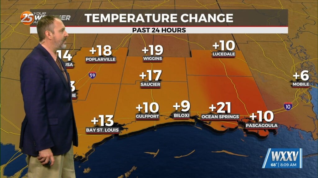
5/9 – Rob Knight’s “Warm & Humid” Monday Morning Forecast
Fog this morning in a few locations and may get dense in those locations around sunrise. But most areas are seeing temps high enough to keep fog out. We could see some patchy light fog in these same areas to the north tonight, but should become less of an issue over the next several days. The heat will feel stronger today as moisture levels have clearly risen. The muggy hot feel will show heat index values in the mid-90s. Although, these numbers fall a bit toward the actual temp values the next few days, we will stick on a few degrees to these numbers making it feel in the mid-90s anyway. This is all because of the Bermuda High ridging into the area above and west of the stacked low off the east coast. This low will begin to get shoved south and then west by the Bermuda High over the next few days. This should begin to occur later today as the high causes the low to stall and then drift south.
On Thursday, the ridging that had been over the Middle and Lower Mississippi River Valley is forecast to get displaced westward somewhat by a mid-level low pressure system over the western Atlantic that is forecast to retrograde into Georgia or Florida late in the week.
As energy wraps around the low, the local area is expected to be in close enough proximity to the low for at least some convective development during the afternoon and evening hours each day from Thursday into the weekend. If there’s a most favored day as far as areal coverage goes, it would be Saturday.


