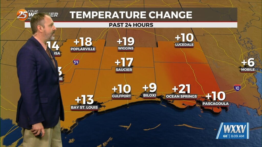
5/6 – The Chief’s “Warm & Muggy Start To The Workweek” Monday Morning Forecast
A rather zonal/progressive upper level flow will continue through the morning and into the afternoon hours across our region. Later today and into tonight, a weak disturbance will begin to round the base of the larger scale weakness centered over the plains and Rockies. Overall, this feature appears weak in nature, but could spark off an isolated shower or storm or two. At this juncture, with much of the support being to our northwest, only our northwestern tier will have the better rain chances…even then generally at or below 20 percent.
Overnight any rainfall that does develop will come to an end with the loss of daytime heating as well as the upper level impulse racing downstream. Tuesday, the region will transition to a more active southwesterly flow with an impulse or two expected to move northeast through the flow providing folks generally along and north of the I10/12 corridor with nonzero rain chances.
Going into the long range, not much change to the overall pattern across our region early on. Heights will slightly increase with high pressure across the southern Gulf of Mexico with gradually rising heights over our region. The broad scale trough across the northern Plains through the Rockies will continue to amplify with time. This will help a frontal boundary move a bit closer or into our region Thursday and Friday. With at least some better upper support late Thursday and into Friday, think that this will likely be the best rain chances we have this week, at least in terms of coverage.


