5/4 – Rob Martin’s “Stormy Friday Potential” Wednesday Evening Forecast
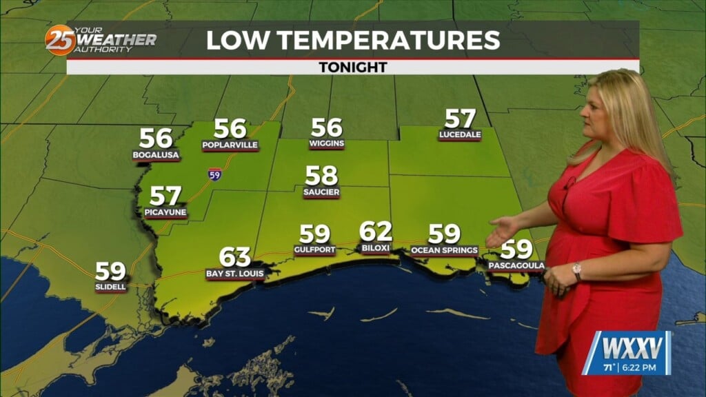
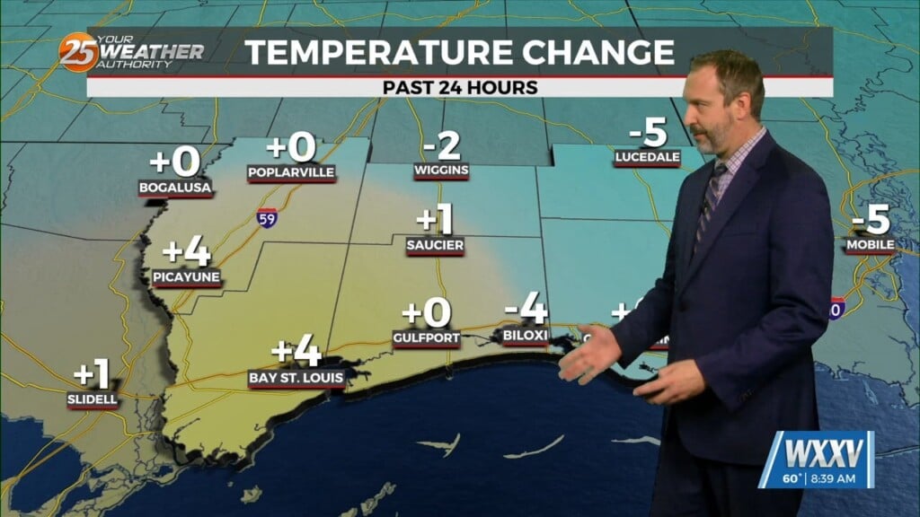
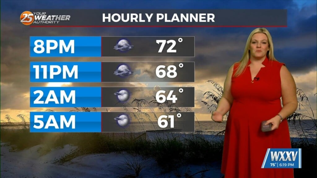
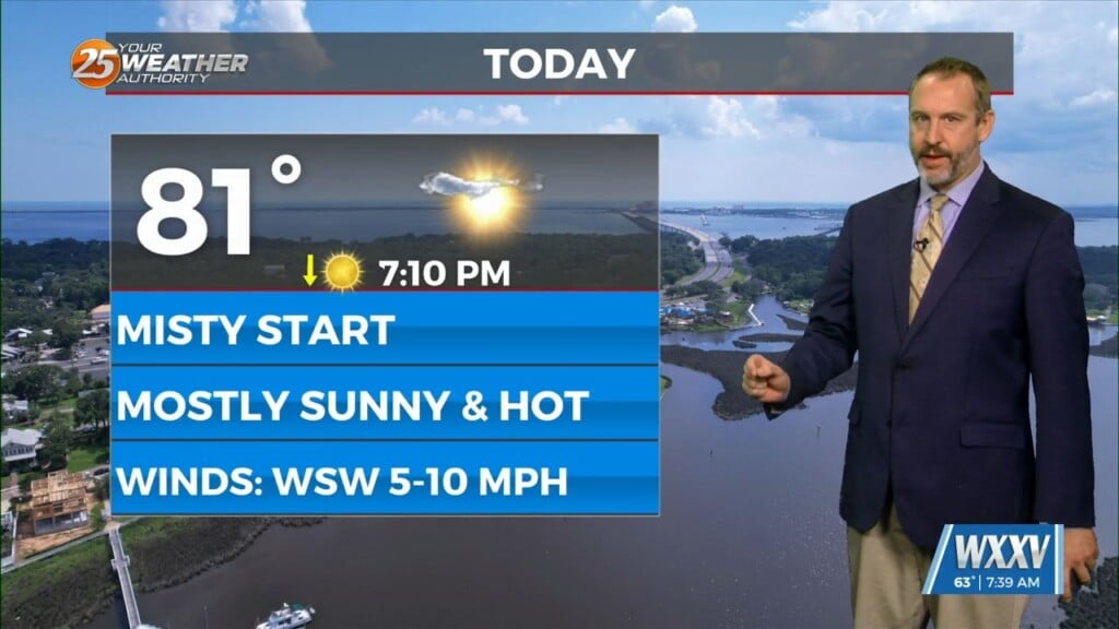
Not much change is expected through Thursday, with afternoon highs in the mid 80s and a bit more of a sea breeze. However, a couple of significant changes are in store, as the next impact weather will occur Friday morning. Instability is definitely in play for this with the capability for a few strong or severe t-storms. Guidance suggests a squall line feature that will develop over NE Texas Thursday night and begin an eastward march toward our area.
As this feature moves into our area around midnight going into Friday morning, we could see a few thunderstorms have some strong downbursts up to severe limits. Even though tornadic activity has not been mentioned, there is an outside possibility of this occurring, but mainly to our west and northwest. The main concern looks to be damaging wind gusts. Heavy rainfall will be associated with these cells as moisture content will be close to 2″ as the front begins align in an east-west orientation as it moves close to our forecast area and stalls Friday. This boundary will at the very least be responsible for keeping Friday mostly-cloudy with some lingering afternoon showers.
Models are in really good agreement (and they all agree)that this weekend and early next week will be hot.
Heading into the weekend, we will see the closed low continue pushing east through the Ohio Valley and then dig across the east coast and into the Atlantic on Sunday. A weak disturbance brings only a slight chance of a shower or thunderstorm on Saturday.
High pressure will be to our southeast, and the combined flow around these two will set up more of a southwesterly flow over the weekend. This means slightly drier air (although NOT dry) that can heat up quicker in the afternoons. Highs will be in the upper 80s along the coast and into the lower 90s inland as building high pressure suppresses any rain or thunderstorms.


