5/30 – The Chiefs “Increasingly Humid Flow” Tuesday Morning Forecast
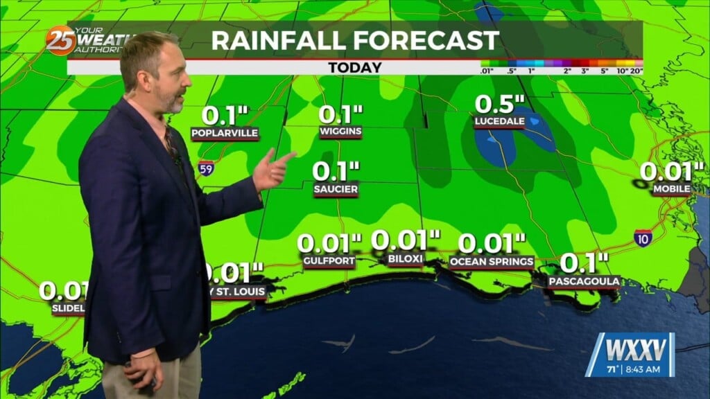
A very weak disturbance was seen this morning just off the coast, which provided just enough instability combined with the sea breeze to produce isolated showers/t-storms both Monday afternoon and overnight.
There is a surface boundary running northwest to Southeast across the area. We are seeing temperatures this Morning 3-5 degrees warmer than yesterday at this time. Considering today and yesterday are very similar, we still have that chance of a shower or two this afternoon through the early evening hours. This pattern will stick around for the middle of the work week on Wednesday.
The current weak upper disturbance off the coast is going to slowly start to move eastward, but not out of our area until Friday. Our best chance of an afternoon shower or storm comes on Thursday. Temperatures will continue to run a few degrees warmer than you usually see with this pattern through the end of the 7 day forecast period.


