5/30 – The Chief’s “Continued HOT” Thursday Morning Forecast
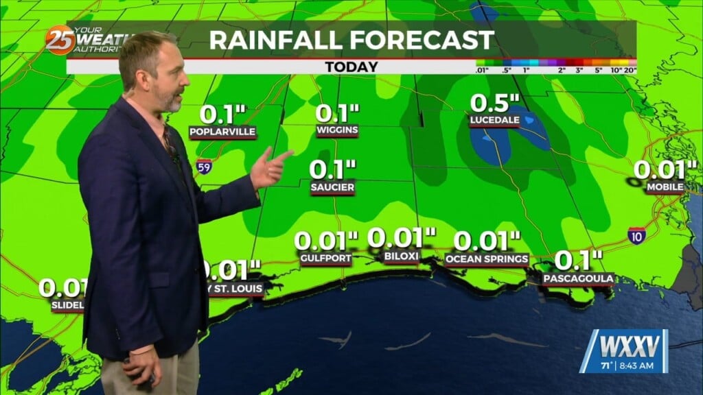
The old front has backed off into central Mississippi which is where showers/t-storms are developing this morning. A few storms are moving NE as they follow this boundary north of Natchez and this area through central Miss should continue to fester until after sunrise.
This gradient will hang around today and will set up from south of New Orleans to Lafayette up to Shreveport. This will be the second area that showers/t-storms will develop today, to our west. Most activity today will be the more normal summer type pop up storms. The late afternoon/evening activity is being advertised to move into the area again with models trying to indicate a t-storm complex over the northern TX panhandle running along the old frontal boundary then dividing as one area moves along the front. This pattern does not change a lot for Friday, but some subtle differences are shown.
As the surface low ejects to the NE it will cause the deep moisture field to also spread east. showers/t-storms will and move into the area from the west both Saturday and Sunday.


