5/24 – The Chief’s “Hot & Humid Memorial Day Weekend” Friday Morning Forecast
Upper level high pressure near the Bay of Campeche continues to nose up into the western Gulf of Mexico and Louisiana. Energy will continue to pass just to the north of the high pressure. Southerly flow continues to pump moist air into the area, as atmospheric moisture in the mid & upper levels continues as well.
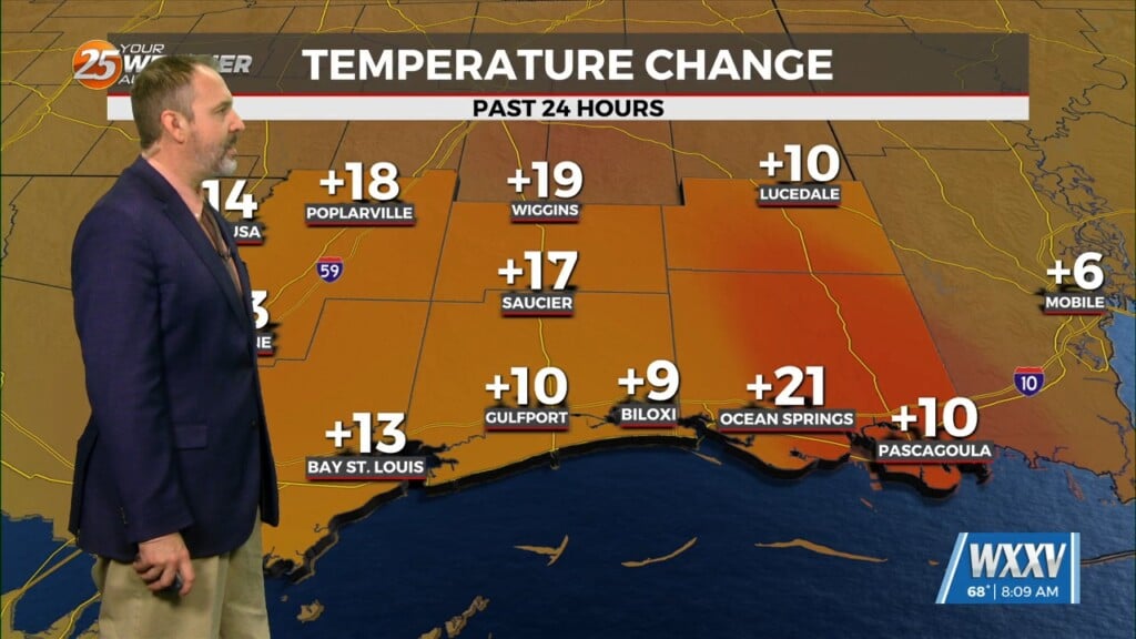
At this time, it appears that any energy moving over the ridge position on Saturday should be too far north to produce any precipitation across the local area. Temperatures will continue to be on the HOT side with the HEAT INDEX playing a factor for most of eh area through early next week.
Sunday doesn’t look much different than tomorrow, with highs in the lower and middle 90s. Beyond Sunday, global models not in particularly good agreement on timing of individual disturbances; passing mainly to the north of the area. I’m holding on to low end rain chances Memorial Day and Tuesday. Tuesday night will bring in drier air (comparatively) to the area, and take the edge off the heat a bit by Tuesday into Wednesday.


