5/23 – Jeff Vorick’s “Isolated Rain Chances” Tuesday Evening Forecast
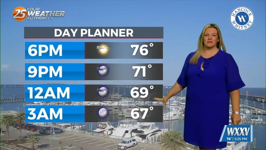
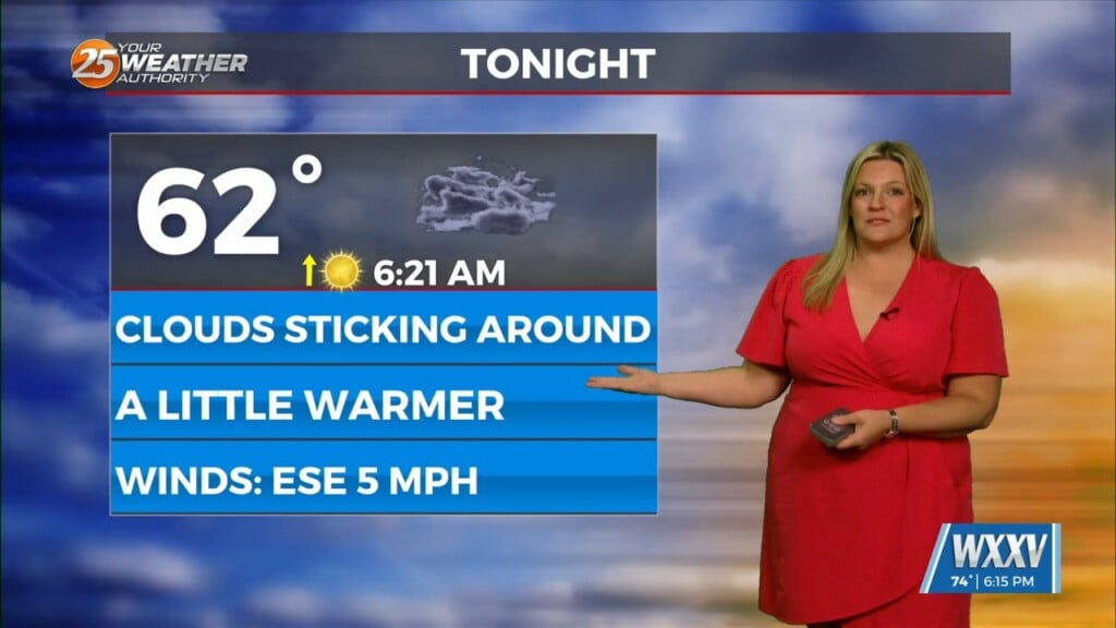
Cloud coverage became more dominant this afternoon as hot and humid conditions greeted us. There is the potential for isolated showers and thunderstorms this evening as an area of low pressure is nearby. Cloud coverage will remain in place overnight with comfortable conditions for tomorrow morning. Northeasterly winds will be around for the next several days.
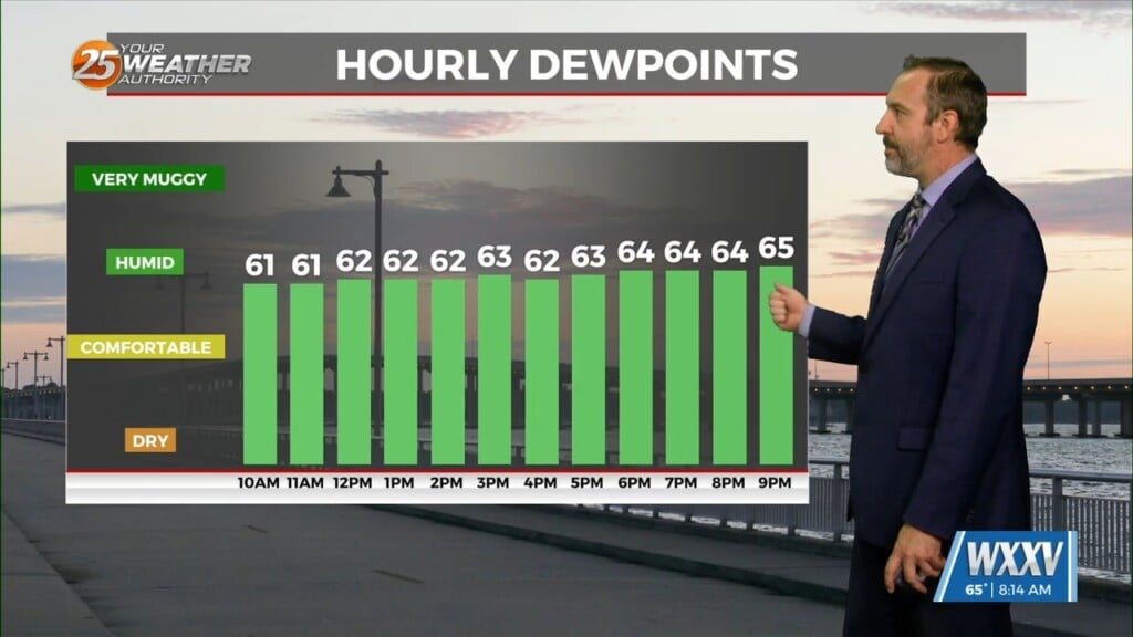
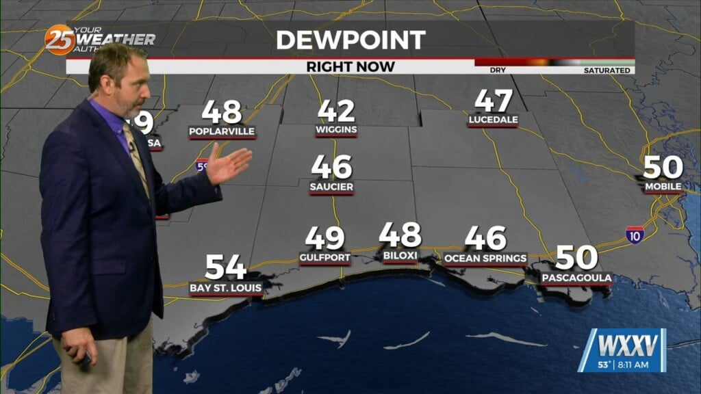
Some showers and thunderstorms could pop up tomorrow afternoon but rain chances are isolated. It will be cooler during the day with high temperatures only maxing out in the 80s. cloud coverage will be slow to dissipate but by Thursday afternoon, sunny skies will be present. Drier air will provide for very comfortable mornings and warm, but not uncomfortably hot afternoons.
The pattern will very slowly modify for the remainder of the week. A system could make its way into our region for the weekend. At the moment, rain chances don’t look overly high. High pressure will build in more dominantly for the beginning of next week.


