5/21 – The Chief’s “Sunny, Warm & Rain Free” Tuesday Afternoon Forecast
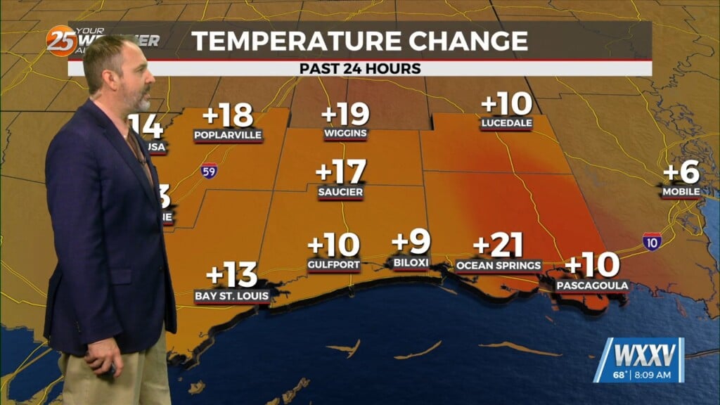
High pressure through the region will continue to provide subsidence and warming through the period. This will result in a dry forecast through the period. At most, some scattered low topped cumulus development beneath the inversion will occur each afternoon as the low levels remain warm, humid, and unstable. Temperatures will remain warmer than average due to the highly subsident airmass in place, and afternoon highs will easily climb into the upper 80s and lower 90s. Overnight lows will also be above normal in the upper 60s and lower 70s as dew-points remain elevated in the mid to upper 60s.
Going into Friday continuing to be noticeably hotter as high pressure remains parked over Mexico into the Gulf. This will keep highs pretty hot generally into the mid 90`s and with the return of low to mid 70 Td`s, will introduce building heat indices into the upper 90`s to low 100`s especially going into Memorial Day Weekend. Not seeing any excessive or dangerous heat indices, but will be enough to be impactful for those outdoors for an extended period, especially given this being our first return of heat reaching these temperatures this season and many may not be too used to it just yet.


