5/15 – The Chief’s “Sunny & Very Nice” Hump-Day Morning Forecast
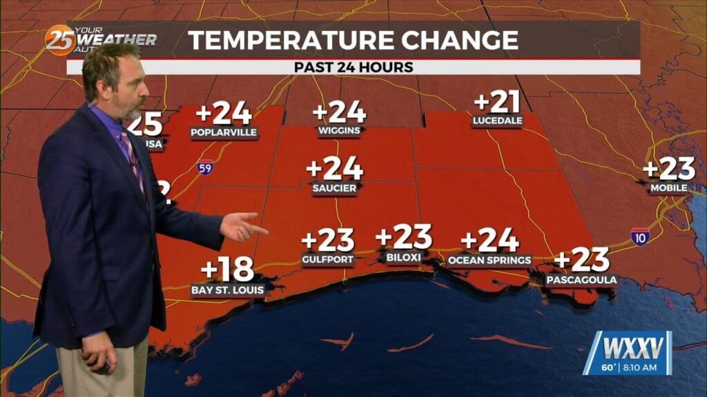
A cold front is currently slowly moving south through the area this morning. This boundary will be very important for this forecast, as it will slowly move offshore today and stall. The next upper level disturbance will begin to draw this boundary back to the north, but it will be reluctant to move far inland. This surface boundary will give a pathway to help a few disturbances move along it. The first of these will move along this boundary Thursday morning which will be the first clue of this boundary moving back to the north. Deep moisture will be available on the south side of this boundary with moisture flow well above seasonal norms.
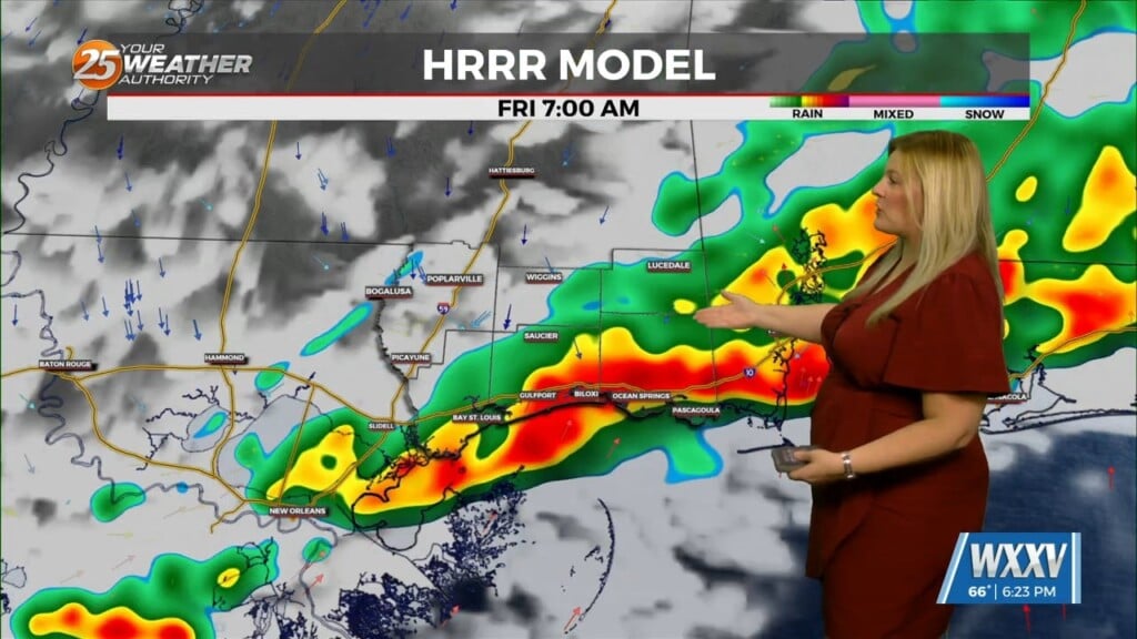
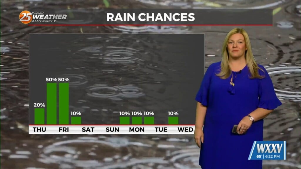
The main surface low-pressure and upper feature will not eject very fast and these dynamic features will continue to play out Thursday night and again Friday night as waves propagate along the interface of this boundary. This will all come together for another potential flooding event across the area and WPC has set a small portion of the area in a moderate risk of flooding rainfall during these time frames.
At the moment, severe storm numbers are not through the roof for the Thursday event. There is a window for a few strong/severe storms overnight Thursday, then on Friday, they are quite high. The time period for this event will be late Friday afternoon/evening or overnight Friday. The general things we have most confidence in is most likely Fri late afternoon/evening with another fast moving complex of t-storms causing heavy rainfall and severe storms with all modes and a general placement to our north.
Even though the boundary gets left in place across the area Saturday, the surface low and upper feature will move east, this will help alleviate the heavy rain and severe storm threat for most of the weekend. High pressure builds and moves east by the new week but ridges over the gulf coast through about mid-week.


