4/4 – Rob Martin’s “Tuesday Severe Potential” Monday Evening Forecast
Severe weather is back on the slate, following the recent trend of about one per week. Showers arrive late tonight followed by thunderstorms entered from the west around daybreak. We are currently under a level 2 & 3 (slight and enhanced) risk for severity Tuesday morning, with the higher threat in our northern counties (Pearl River, Stone, and George).
The biggest concerns are damaging wind gusts and hail, but tornadoes are a distinct possibility with this event. Expected impact time is 6 to 11 AM Tuesday morning. There is also a heavy-rain/flash flooding concern with this, as heavier rain could continue after the other severe elements move east. 60 mph wind gusts and medium/large hail are possible, as there is a lot of lift (instability) apparent in the forecast models at this point. Rainfall totals could end up in the 2-3 inch range by afternoon Tuesday.
Although this scenario has potential to under-perform, there’s also potential for it to exceed expectations and turn into a very significant event. It’s advisable to remain weather-aware this Tuesday and Wednesday.
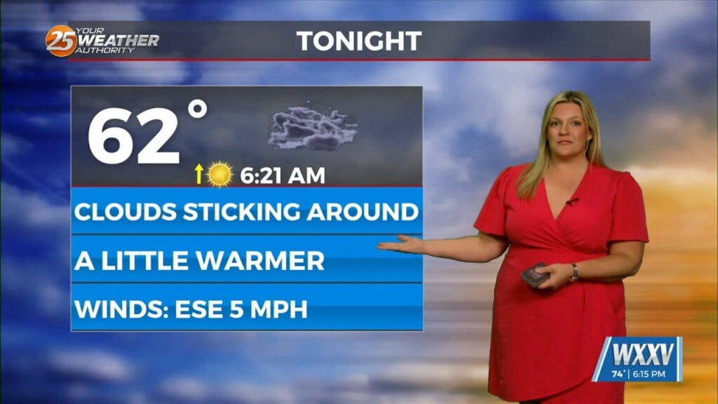
It’ll remain warm and humid Tuesday night, keeping the atmosphere primed for a cold front arrival Wednesday. So, we’ll get a brief break in the action late Tuesday afternoon through Wednesday morning. Wednesday’s cold front arrives late-afternoon and evening, with a slight (level 2) severe threat over our entire forecast area…but the main action looks to be to the north and northeast in Stone and George counties.
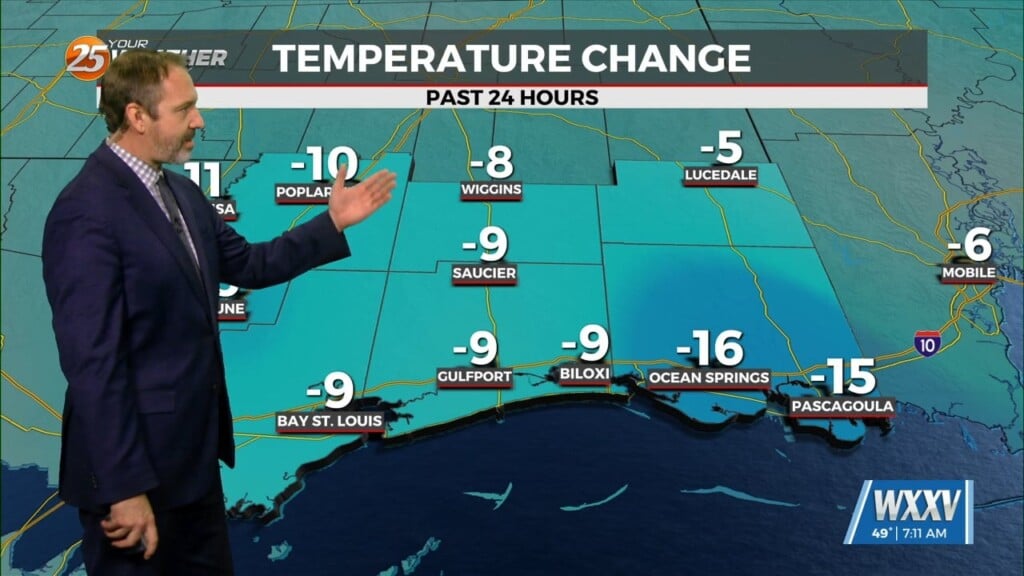
Behind the front we’ll have much cooler temperatures. In fact, some of the inland areas could get overnight readings in the upper 30s by daybreak Saturday. Lows in the 40s will be widespread Thursday through Saturday nights as well. But, it’ll be mostly-sunny and pleasant with another lengthy break before the next action.


