4/3 – The Chief’s “Warm & Muggy Pattern” Monday Morning Forecast
An upper level disturbance Memphis is moving quickly eastward in zonal flow across the southern states. Another strong upper disturbance is moving onshore in the Pacific Northwest. At the surface, the warm front that moved through during the evening has progressed northward to about Interstate 20.
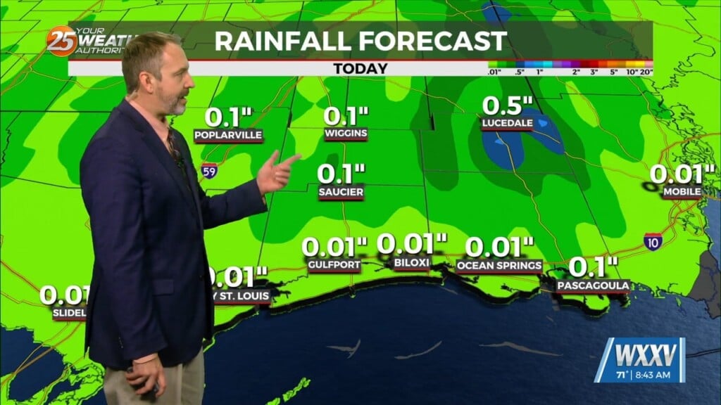
Over the local area, isolated to scattered showers were moving northeastward, with perhaps a rumble of thunder or two, but cells haven’t been able to build much past 20K feet. The disturbance to our north will continue to move quickly eastward, and will likely be in Alabama by mid-morning, if not sooner. That will end any significant threat of thunderstorms for the day.
Beyond that point, it’ll just be a question of how hot it gets today and tomorrow. Considering that high temperatures over the weekend got well into the 80s in most areas, and that low level temperatures today are expected to be warmer than Sunday, high temperatures in the mid and upper 80s appears entirely reasonable, and wouldn’t be surprised to see a few spots hit 90. Most record highs are in the upper 80s today, so they are definitely in danger. Would note that water temperatures are generally upper 60s and lower 70s near shore, so with south winds, areas like the Mississippi coastal counties will probably only top out in the lower 80s. Overnight lows tonight generally close to 70.


