4/24 – The Chief’s “Top Tier Day Ahead” Wednesday Morning Forecast
With high pressure still in control along with a weak cold front to the NW, sunny skies and a zonal/progressive upper flow regime across the region will continue. With the surface flow veering to a more onshore flow with the surface high departing stage east, some better low level moisture has started to creep northward back into the area.
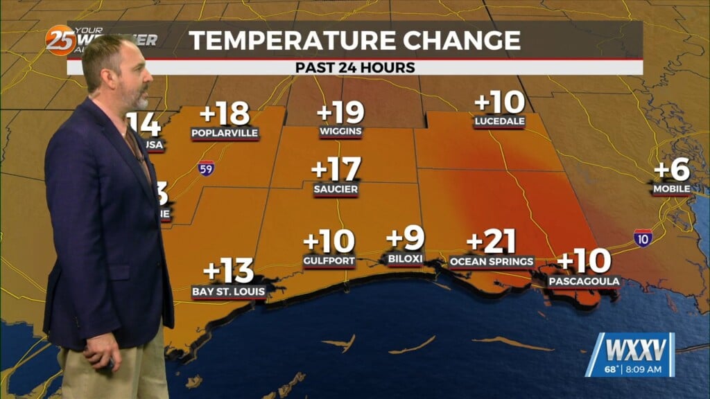
Overnight, the upper level flow will transition to a dry northwesterly flow and a surface front will make an attempt to near the region. Although low level moisture influx has been weak, there is still strong probability for lower visibilities due to pockets of dense fog, especially across south Mississippi. Today, outside of some scattered upper-level clouds, the story will be temperatures (and that isn`t even much of a story). With a continuation of increasing heights, temperatures should continue to increase gradually…both max and min temps.
The long term period starts with the stalled front just to our north and east. Again, ahead of the front there could be some morning fog. A cold front will stall upstream early in the weekend close to the Sabine River and ArkLaTex region. This will likely keep most rain chances up that way this weekend. A strong mid and upper level impulse amplifies and takes the same path roughly as the prior weaker impulse. This feature looks to move the aforementioned stalled frontal boundary eastward toward our area early next week.


