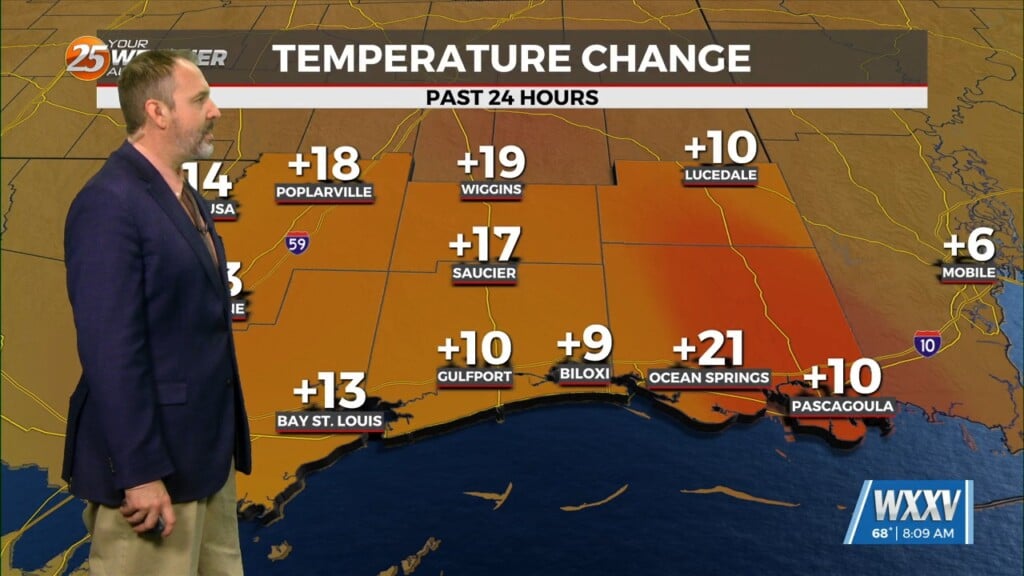
4/25 – The Chief’s “Almost PERFECT Day” Thursday Morning Forecast
For the next few days and through the weekend the word is…WARM. So basically today, April 25th, is probably not the perfect date this year as it is likely no one will need a light jacket today with highs expected in the lower to mid-80s. High pressure ridging will continue to build across the eastern CONUS through the weekend with the ridge axis getting east of the area early tomorrow. This will place us in southwest flow aloft but with the ridge building it will also allow the low levels warm another degree or two. It will also keep the multiple disturbances that move across the Plains tomorrow and through the weekend well off to our northwest and north while we remain dry for the most part. It wouldn’t be a complete shock though if we saw one or two light showers develop each day this weekend after we have heated up, especially Sunday as moisture continues to trickle up. Also just want to point out that if a few showers can develop they likely will exhibit some rotation but given how warm the temps will be. Any shower that develop will be shallow and struggle to get above 7k ft.
Medium range models continue to exhibit good consistency and continuity. Confidence remains slightly higher than normal in the extended forecast with rain returning to some areas Monday into Tuesday but no real frontal passage and the area remaining warm next week.


