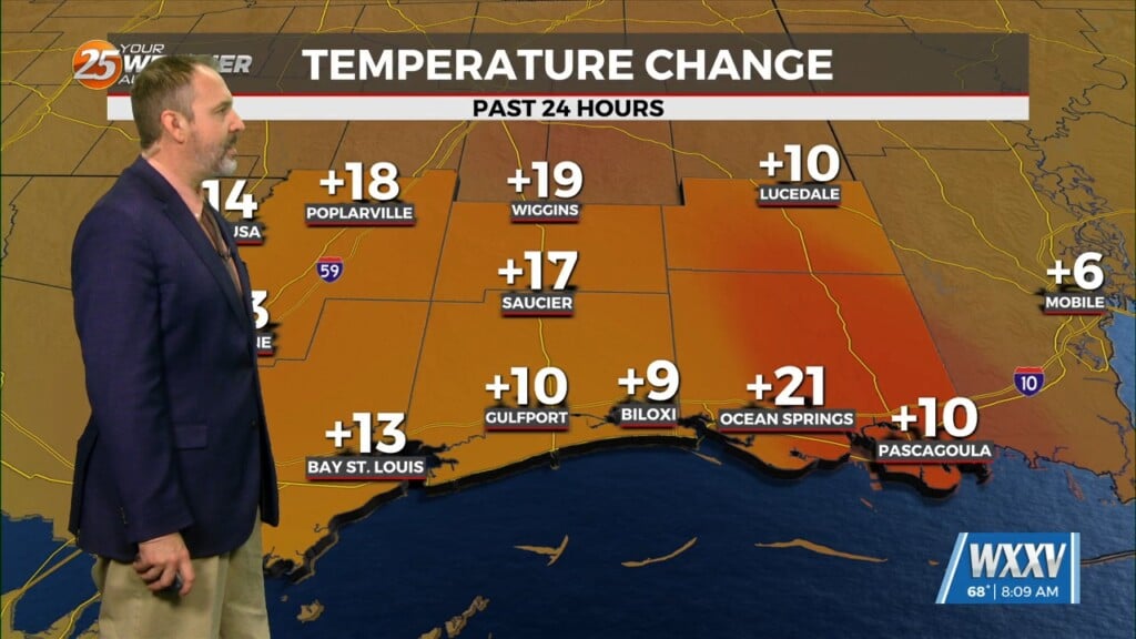
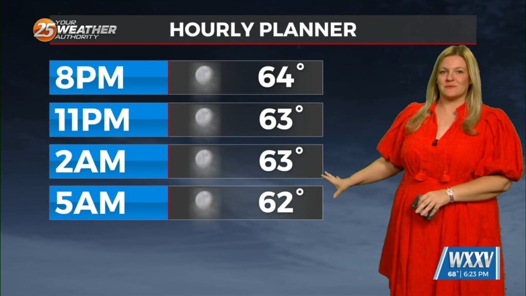
4/22 – The Chief’s “COLD Start To The Workweek” Monday Morning Forecast
In the wake of yesterday’s cold front, strong dry air surge at the mid and upper levels is continues to move into the area. This is occurring at the surface as well but is most impressive in the upper levels as seen in IR Satellite imagery. This dry surge will move through and out of the area by Wednesday. At the surface, we will begin to see return flow from the gulf Tuesday. This will help bring low level moisture back, but there won’t be enough depth to it to produce more than fair weather cumulus clouds.
Gulf flow continues through the remainder of the period with increasing cloud coverage by the latter part of the workweek. A cold front will move rapidly east and quickly stall Friday over central TX. The showers/t-storms that will be produced by this front will continue moving eastward but will also weaken with time as there will be no support or forcing. By the time this line would have made it to our area, there won’t be much more than a chance of cloud cover and fog, and that may not be dense. That’s the only real item in site for now. There could be some renewed forcing to this old boundary over TX that kicks a front farther east but still stalling to the NW of here. But could be close enough to give some chance of rainfall by the start of next week.


