4/2 – The Chief’s “Very Low Threat For Severity” Tuesday Morning Forecast
High pressure is moving eastward as a trough of low-pressure is progressing into the area, extending from the Great Lakes down through Texas. At the surface, a cold front will begin cutting into the area later tonight making it through the coast by early Wednesday morning. Ahead of this front, deep moisture will slowly start pumping in settling in by late afternoon. Expect a few showers possible before the late afternoon but our main window for convection looks to be after 4pm. Models are not overly excited, with no deep convection expected, however I could see a couple sneaky cells that would want to cause trouble mainly in the later afternoon/evening east of Lake Pontchartrain. Forcing is definitely best to our north and we likely won/t see widespread convection, but wouldn’t be surprised to see a couple problem cells.
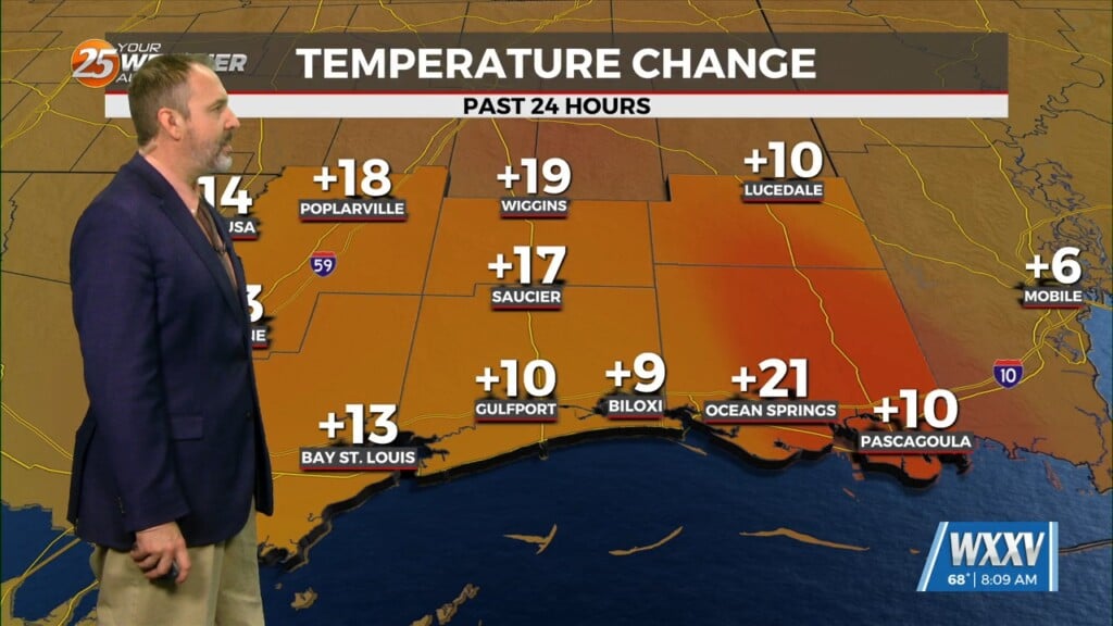
Cooler and drier air will move in following the cold front, with morning lows in the 50s and afternoon highs Wednesday falling back into the mid-70s.
Following the exit of the frontal boundary, surface high pressure will start to build into the Western Gulf and eventually park itself to our south. This high pressure holds through the end of the work week and even through most of the weekend keeping us rather quiet. Our next system starts to approach the area late Sunday and into Monday.


