4/13 – The Chief’s “Very Wet” Thursday Morning Forecast
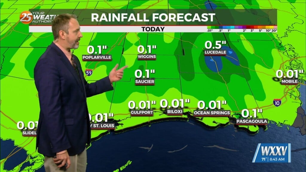
The surface analysis shows that the surface low has formed and is sitting just off the coast of Mobile early this morning. This low will continue to move northward through the day, exiting our area sometime early this morning. As this low continues to push northward, eastern areas of the area (mainly coastal MS) will see persistent light rain showers, which can be seen on current radar imagery.
Pockets of moderate to heavy rainfall are possible, but most will likely be continued light rainfall. Pascagoula airport is reporting right around 1.50 inches of rainfall this morning and an additional 1-2 inches is expected through today. A sharp gradient can be seen on radar, with the line sitting near the Hancock County/St Tammany Parish border. Once this surface low exits the area we will see some brief high pressure move in which keeps Friday dry with mostly clear skies. The sunshine will bring a big jump in the afternoon high temperatures, with most areas seeing the upper 70s to low 80s compared to Thursday’s high temps in the upper 60s to low 70s.
Heading into the weekend we will see our next system move in, coming in the form of a weak warm front lifting northwards into the area Saturday morning followed by a cold front diving down into the area through Sunday. This brings the return of rain chances Saturday morning with a slight lull late in the evening, before ramping back up early Sunday as the cold front passes through. SPC has a marginal risk of severe weather. While the cold front won’t bring a ton of impact to high temperatures during the day (dropping only into the mid-70s). Overnight lows will fall into the mid to upper 40s for northern areas early next week. A large area of high pressure will build into the region early next week bringing dry weather through mid-week


