3/8 – Rob Martin’s “Active-Calm-Active” Tuesday Evening Forecast
The cold front that brought morning showers returns northward as a warm front tonight, with steady or rising temperatures. Models indicate a weak surface low developing along the northward drifting warm front tonight. Activity will ramp up overnight with scattered showers and t-storms overnight into early Wednesday morning as the front does another about-face and swings back through the area.
There is a very brief and narrow opportunity for severity with strong winds and small hail possible. SPC has outlooked extreme SE LA (just S/E of New Orleans) and Coastal MS in a marginal severe thunderstorm risk, with an narrow sliver along the coast (including Harrison and Jackson counties) in an increased slight risk category. The mostly likely time frame for strong storms will be 12 AM to 4 AM Wednesday, with gusty winds and even a weak tornado possible. Northerly flow in wake of the surface low will cause the front to move offshore again by Wednesday morning, which will be a concern for boaters.
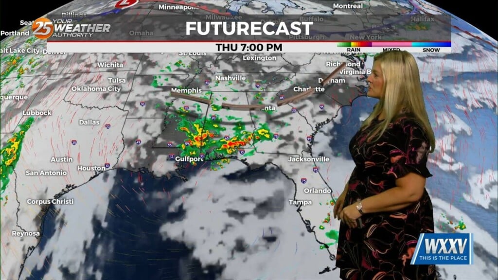
For those who want a break in the wet pattern, Thursday looks to provide a brief ray of hope. The last but strongest disturbance will approach from the Southwest US Thursday night and Friday. This will lead to thunderstorms and locally heavy rainfall potential, especially along the warm front Friday afternoon and evening. The weekend will bring a blast of cold air with windy conditions Saturday and FREEZING TEMPERATURES Saturday night.