3/5 – The Chief’s “Improving Conditions” Tuesday Afternoon Forecast
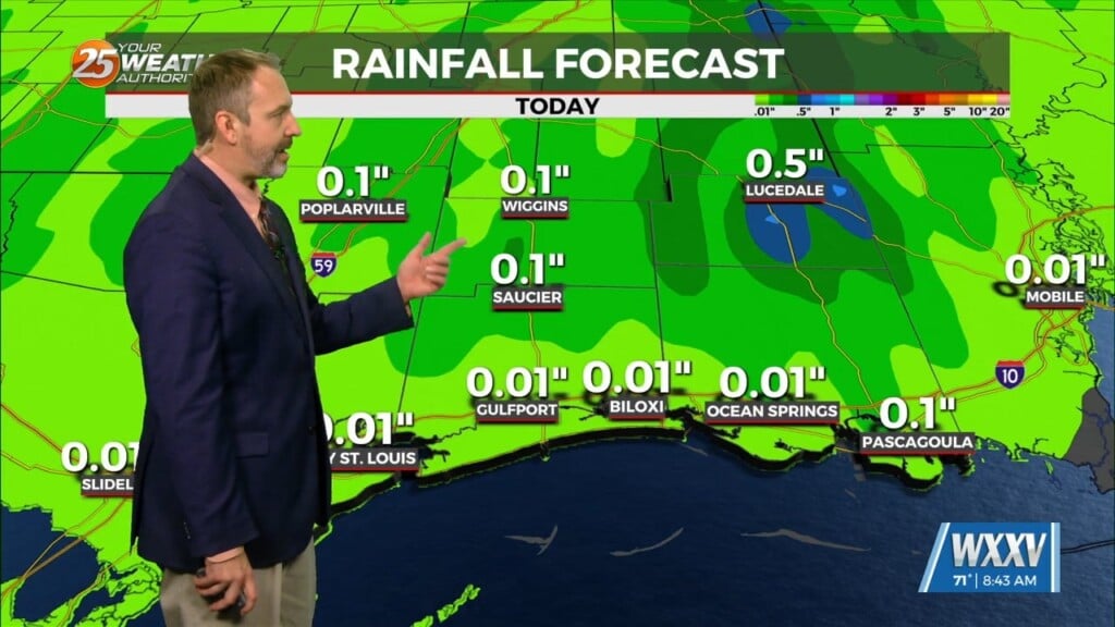
Another disturbance passing north of Interstate 10 into early afternoon will then begin to drop rain chances. Any precipitation this afternoon should be rather limited in coverage, although I`m not entirely confident in seeing much sunshine this afternoon much before sunset. With the disturbance pulling to the northeast of the area this evening, much of the column drying, the wind field weakening, and rather wet ground, we must allow for the possibility of radiation fog toward sunrise on Wednesday.
Quite a bit of sunshine is expected Wednesday, especially if we don’t have fog to start. It`ll be warm with upper 70s to lower 80s for much of the area, with less humidity than the last few days. For most locations, not much spread in temperature guidance. Will trend on the warmer side for highs where there is. The next feature will approach and move through the Mississippi River Valley Friday and Friday night with another round of showers and thunderstorms. There’ll be another threat of heavy rainfall/severe weather with this system.


