3/31 – Trey Tonnessen’s “Return Flow” Sunday Night Forecast
Meteorologist Trey Tonnessen
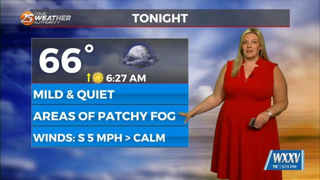
A high pressure center to the south and east is placing our region in a more active southwesterly flow on the northwestern side of a ridge. This should be the start of a brief pattern change. With the heights increasing and at he lower levels, the high pressure to the east helping with return flow and increasing boundary layer moisture, the warming trend will persist well into Monday. In fact, with the relatively higher heights and thicknesses, many locations across the interior will warm into the middle 80s with locations right along the immediate coast of Mississippi Gulf Coast will only warm to around 80F. Low stratus and perhaps some stratus build-down “fog” will again be possible for the Monday AM Commute.
As always: A cloudy day is no match for a sunny disposition. Be nice to each other.
-Meteorologist Trey Tonnessen


