3/28 – Rob Martin’s “More Like May” Monday Evening Forecast
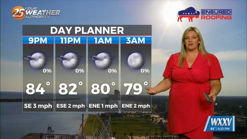
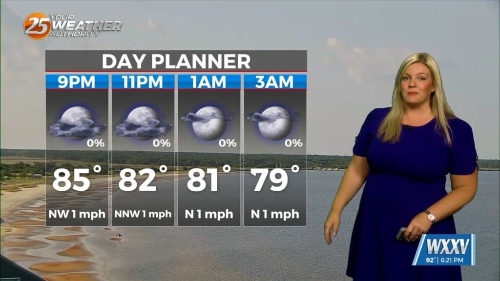
Above-normal temperatures have arrived and will stay with us early this week. Expect a pleasant Monday evening and Tuesday with a few clouds through the night and more passing clouds Tuesday. Fog will be a factor Tuesday morning but not in every location and it may be patchy dense. It’ll be a bit more breezy out of the south/southeast Tuesday, becoming breezy to borderline windy Wednesday before our next round of thunderstorms arrive.
The next system will move through the region mid-week. There will be some activity ahead of the main line Wednesday most likely over southern Mississippi especially coastal Mississippi. But these showers will be developing in a strongly capped region and won’t be problematic.
SEVERE THREAT POTENTIAL WEDNESDAY NIGHT
A cold front moving through Wednesday night will bring the threat for severity. Of these numbers with respect to heavy rainfall, TORNADIC ACTIVITY and STRONG WINDS will be possible. Rainfall rates could be high enough that any slower moving cells could cause a few poor drainage areas to flood. All modes of severe weather will be possible including tornadic activity along with strong winds from downdrafts. The line should enter the region shortly after noon arriving in the Baton Rouge area around 4pm, New Orleans 6pm, Gulfport 7 – 9pm and exit the area around midnight Wednesday night into Thursday morning.
The air isn’t particularly cooler behind this system, so temperatures will remain seasonable or slightly above late next week.