3/22 – Brittany’s “Pleasant” Wednesday Night Forecast
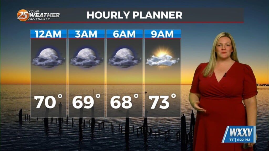
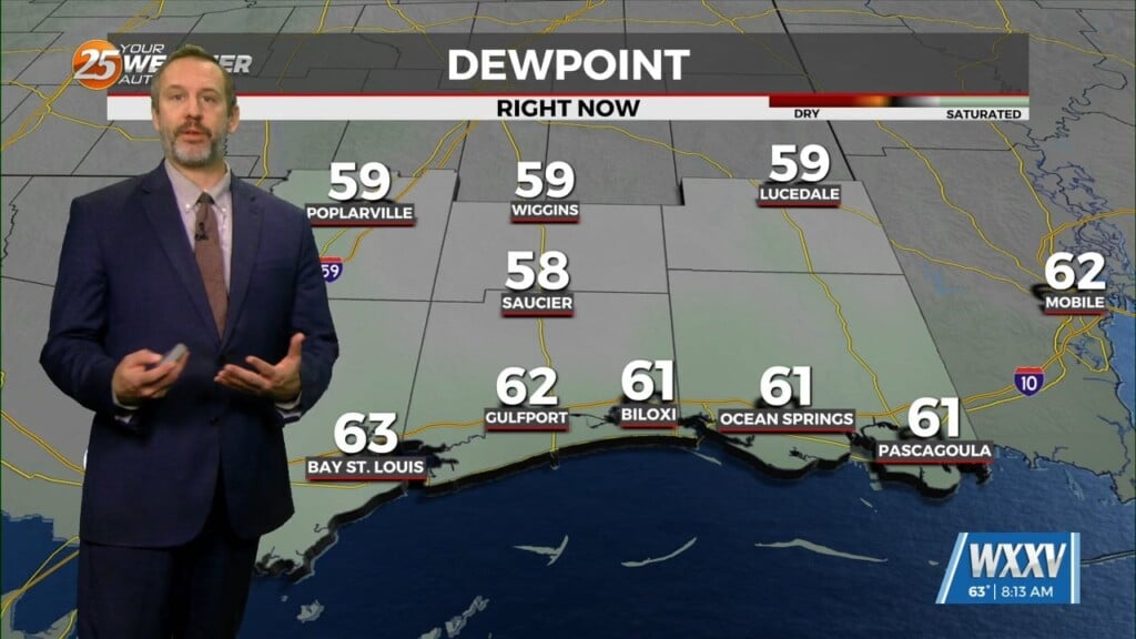
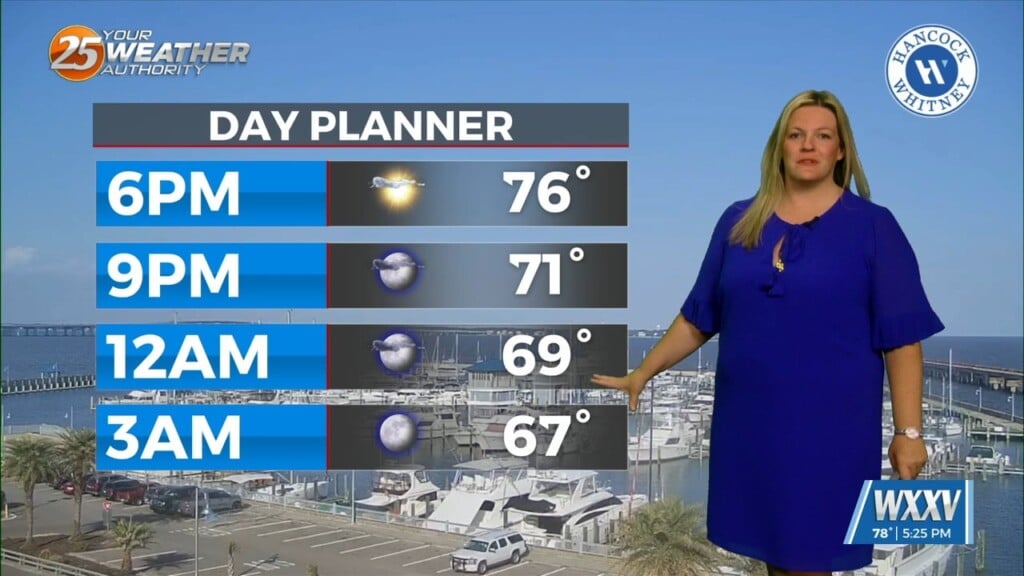
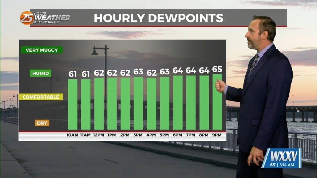
With high pressure to our east, moisture recovery continues as evidenced by dewpoints now approaching or exceeding 60 degrees in most places across the forecast area. Mostly clear skies and this influx of moisture will be supportive of radiational fog development tonight in some areas. The main inhibiting factor will be wind and where the wind shuts off vs where it doesn`t. Will be indicating potential for patchy fog across most areas away from the immediate coast, the main exception being far northwestern areas where winds look to stay a bit more mixed overnight. Don`t think we`re looking at any dense fog issues at this time, but visibility could drop to 1-2 miles in a few places. Overnight lows will be 5-10 degrees warmer than normal for this time of year, only dropping into the upper 50s and lower 60s north and into the low to mid 60s south.
Temperatures will rebound quickly tomorrow morning after sunrise on their way to a very warm day for late March. Afternoon temperatures in most places are expected to top 80 degrees and could even reach the mid 80s across areas generally north and west of the tidal lakes. Reaching the mid 80s would be a solid 10 degrees warmer than normal for this time of year.
By Thursday night the pressure gradient begins to tighten ahead of the next cold front. This should cause winds to remain a little more elevated, not dropping much below 10 mph. SREF guidance is hinting at potential for some advective fog with this set up, carrying probs of 40% or higher for visibility dropping to 1 miles or lower across much of the area. For the time being, will carry patchy fog across the entire land area as well as the immediate near-shore waters, though it`s also possible this could morph into more of a low stratus event if the winds stay up a little too high.


