3/14 – Sam Parker’s “Final preparations” Friday Evening Forecast
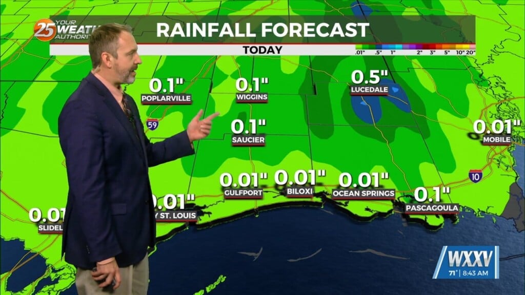
A rare High risk threat for severe weather issued for portions of Mississippi while we prepare for our moderate threat in our area. Today there is still a slight risk for severe storms in our northern counties. A smaller chance for thunderstorms this evening. Our main focus is Saturday with the threat of severe storms with all of South Mississippi being in the level 4 moderate area. I am watching for a strong line of cells to develop Saturday afternoon and evening (1pm-10pm), moving across the area. Please understand we might not see a lot of rain for most of the day on Saturday, possibly any where around 0.25-0.75 but these individual cells will be very intense. Main things we are still tracking are a few tornadoes, strong damaging winds, and hail. Please have a way to receive weather alerts and to tune in to hear the latest forecast. Ryan and I will be monitoring the threat tomorrow and will cut in if there is any tornado warnings in our area.


