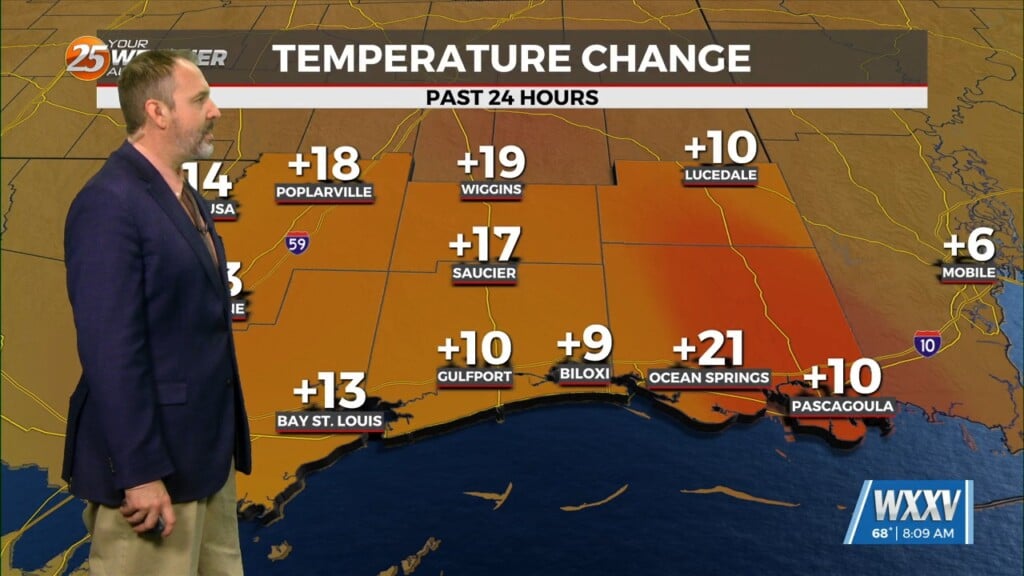
2/9 – Brittany’s “Colder” Thursday Evening Forecast
Upper low and trough continue to lift northeastward today. With deep layer flow mostly parallel to the surface frontal boundary, expect it to remain stalled near the mouth of the MS River through the short term, though it could meander a bit. Expect to see isolated to scattered showers across southeastern areas through Friday with the best chances in the areas closest to the frontal boundary.
Moving into Friday night, a reinforcing front will move through the area. This front will be forced southeastward by an upper trough currently diving southward toward the Texas panhandle. The trough will take its time moving slowly eastward through Friday as the northern stream energy outruns the southern stream. This will cause the southern stream energy to close off into a low some time late Friday and this low will then drift slowly eastward Friday night into Saturday. With the upper low now forecast to pass overhead the local area Friday night into Saturday morning, rain chances have been bumped up slightly again and am now carrying high end chance to likely POPs across much of the area. By Saturday evening, the upper low finally pushes east of the local area with skies clearing out overnight Saturday night.


