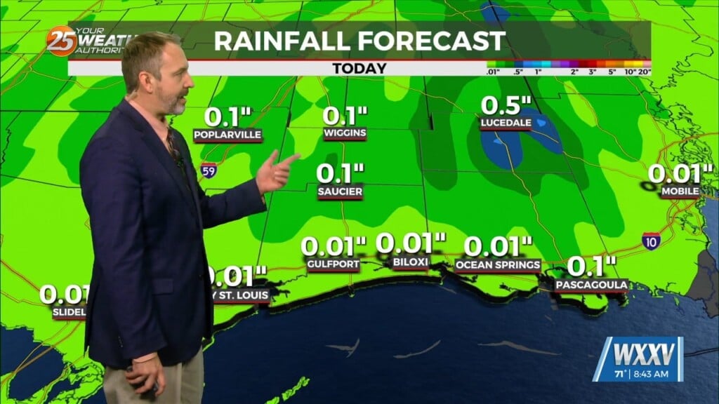
2/28 – Trey’s “Tough Clouds” Wednesday Night Forecast
Meteorologist Trey Tonnessen
A zonal flow pattern will be in firm control of the area through
next Tuesday. A series of fast moving shortwave troughs embedded
within this zonal flow pattern will sweep through the area. The
first of these features will be push through on Friday. Strong deep
layer forcing will combine with a moderately unstable and
very moist airmass to produce widespread rain with some embedded
thunderstorm activity. Fortunately, the majority of the
instability will above a fairly strong inversion extending down to
the surface, and this will keep any severe
potential limited as stable air resides at the surface. However,
 will support periods of locally heavy
rainfall. Rainfall totals of up to 3 inches locally cannot be
ruled out. By Friday night, the strongest forcing will shift to
the east and increased negative vorticity advection will lead to
some drying aloft. However, low level onshore flow riding over the
cooler and more stable surface layer will keep skies overcast and
the threat of showers in place through the night. If winds fall
off enough by Friday night, the warm and humid air moving over the
cooler nearshore waters could also support some advective fog
development late Friday night into Saturday morning.

As always: A cloudy day is no match for a sunny disposition. Be nice to each other.

- Meteorologist Trey Tonnessen -


