2/28 – Brittany’s “Quiet” Monday Afternoon Forecast
It’s a rather quiet forecast the next few days with cool and dry conditions today slowly moderating over the next few days. High-pressure will quickly move in later today but quickly transitions back to northwest flow through the middle of the week.
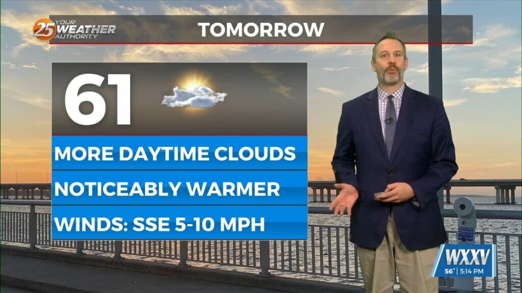
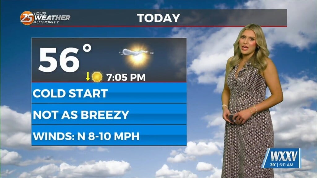
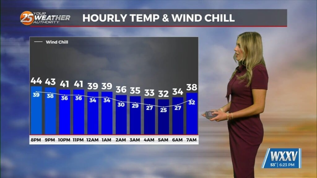
At the surface there will be very little change as high pressure sets up over the Lower MS Valley likely becoming centered directly over the region. This will help keep things rather benign with decent radiational cooling conditions overnight. Low-level temps will slowly moderate Tuesday and Wednesday but dew-points will be slower to rise thanks to the surface high over the region. This should lead to pretty large diurnal temp changes on the order of 3-35 degrees maybe even approaching 40 degrees in a few locations. Highs in the lower to mid-60s today will increase to the lower to mid-70s by Wednesday while morning lows tonight will once again range from the mid-30s in southwest MS to lower to mid-40s along the coast.
In the upper levels, high-pressure will dominate over the Rockies, this helps keep us warm and dry on Thursday, however there is a shift for the weekend. The high pressure at the surface opens us up to return flow from the Gulf helping to increase the dew points. In addition to this there are a few disturbances moving through the upper levels that could help with showers. Thunderstorms are not forecasted at this time, due to the overall stability of the atmosphere.

Leave a Reply