2/23 – The Chief’s “Record High Temperatures Again” Friday-Eve Morning Forecast
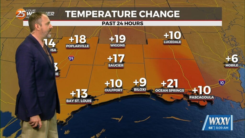
A weak frontal boundary will reside pretty close to our northern area border today. With the closer proximity to the boundary, the surface pressure gradient will relax, especially when compared to yesterday. Southerly light to moderate winds can be expected. Aloft, our region will be within the northwest periphery of the strong high pressure parked over south Florida leading to southwesterly flow. Today will mostly be a temperature forecast, but not just any temperatures forecast…the warmest of the year. With the onshore flow, locations closest to the water such as the MS Gulf Coast will be the coolest with middle and upper 70s expected. Cloud cover early on should mix out at least some this afternoon again allowing for strong surface warming to take shape. The limiting factor is the aforementioned surface trough/weak cold frontal boundary. Not really the air mass change on either side, but what could be a few additional clouds that might limit things a bit and may produce an isolated shower or two again under the right conditions across southwest Mississippi. With the strong heating taking place over land and cooler waters, a weak lake/sea breeze along the MS Gulf Coast cannot be ruled out.
Tonight, more fog potential. Although at this stage fog has not been much of an issue over the land-based zones. We will wait and see if this will be an all too familiar sunrise surprise fog event as winds continue to decrease. Sea fog advection will be possible as favorable winds set up as well as a very rich low level flow of relatively cool shelf waters.
The modeled outlook for the extended period remains the same as we have been discussing in the past several outlooks. Upper and surface high pressure conditions are firmly settled in the area and control the weather for several days. By Monday into Tuesday we expect to see a relatively weak upper low moving northeastward from the desert southwest across the central Midwest and into to OH River valley. This low drags a week front with the potential for rain across our area late Monday.
We continue to have a summertime feel temperature- and humidity-wise. The weekend looks dry and pleasantly warm with highs remaining in the upper 70s to mid-80s and lows in the upper 50s to mid-60s. By the end of the period, temperatures are more toward the bottom end of these ranges. Winds retain a strong southerly component through Tuesday, carrying high humidity through the area; while rain is not expected until the front on Monday, there will be persistent cloud cover. After the front passes winds become more westerly, temperatures drop to the lower end of the aforementioned ranges, and the humidity drops to more comfortable levels.


