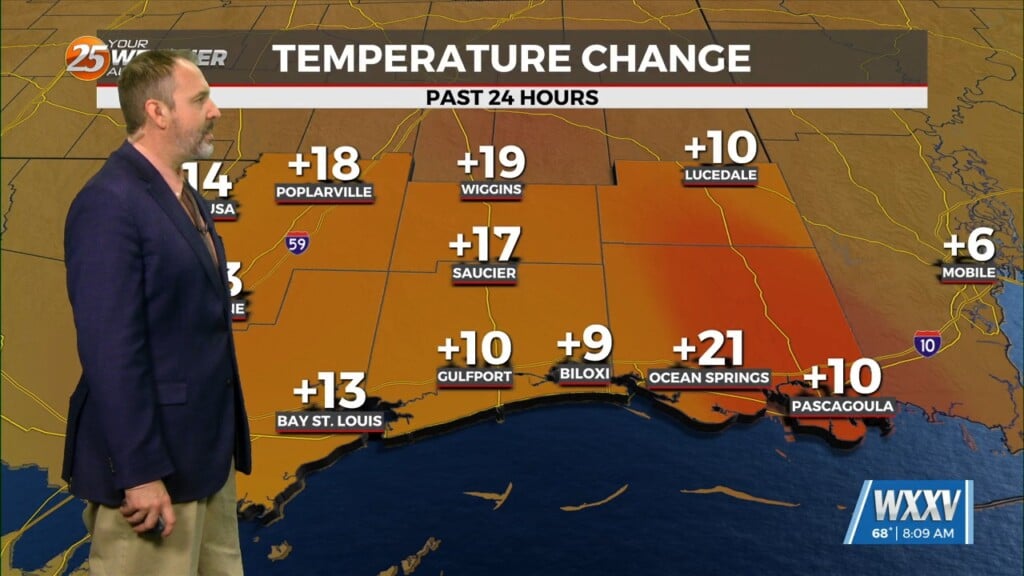
2/22 – The Chief’s “Warm & Often Breezy” Thursday Morning Forecast
An area of upper-level high pressure remains over Mexico with weakness off both coasts. At the surface, low pressure was centered over Oklahoma with a cold front/dry line into the Texas Big Bend area. Models show a disturbance moving through the pattern into and through the Ohio River Valley later today and tonight. As the Oklahoma low-pressure races to the Mid-Atlantic coast by Friday morning, it will pull the cold front across the local area late tonight. This airmass will be lacking any deep moisture, with precipitable water values generally remaining below one inch. While there will be a good bit of cloud cover today and tonight, I’m not really expecting anything more than isolated to widely scattered light rain showers, and most of those will be overnight.
Southerly winds will be rather breezy this afternoon, especially from Interstate 10 northward, where sustained winds may get close to 20 mph. We’ll also have to keep an eye out for perhaps a brief period of advection fog just ahead of the cold front overnight as what little surface moisture there is pooled ahead of the front. Cloud cover will be the limiting factor on high temperatures today, but most areas should be at least pretty close to yesterday`s high temperatures. Similarly, overnight lows will be strongly affected by the timing of the frontal passage and arrival of the drier air.
With a northerly wind component and drier air arriving on Friday, the warmest high temperatures will likely be in the Pascagoula and Pearl River drainage basins, as this is a fairly common occurrence in the forecast scenario. High pressure will move in for the weekend with moderating temperatures and plenty of sunshine.


