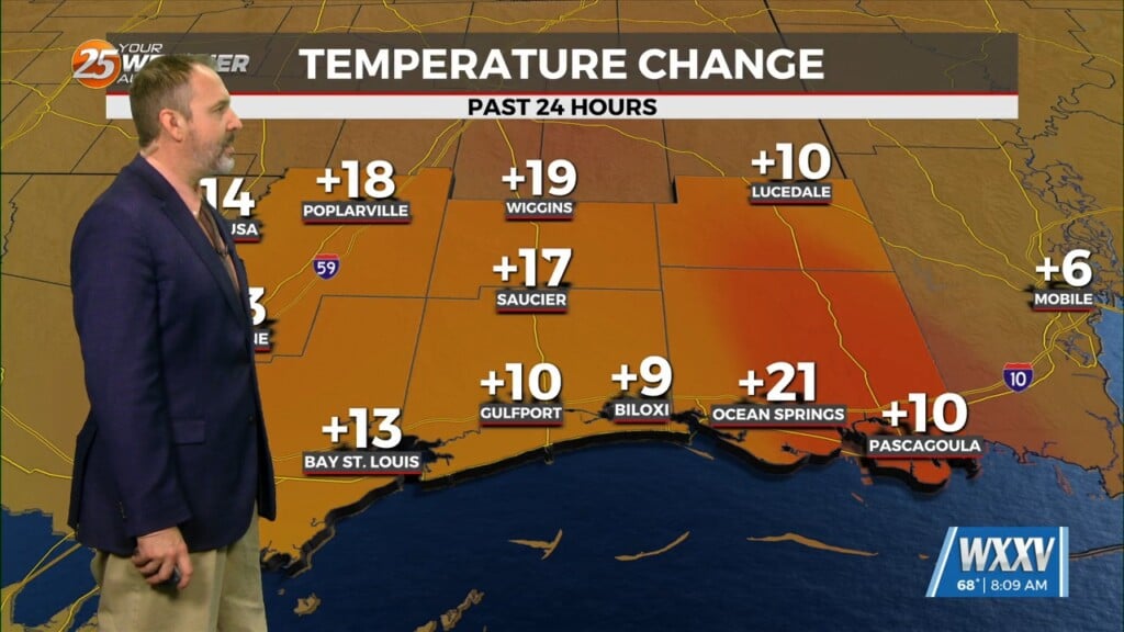
2/20 – The Chief’s “Warming Trend begins” Tuesday Morning Forecast
An area of upper level high-pressure extends from western Mexico northward through the Rockies. At the surface, high pressure extended from New England to the Louisiana coast. The high pressure over the Rockies will shift eastward to the lower and middle Mississippi River Valley by Wednesday afternoon, with the surface high shifting to our east. The only impactful weather expected during the first 36 hours of the forecast will be the potential for radiative type fog Wednesday morning. Clear skies, light winds and a modifying moisture profile are giving signals for at least patchy fog area wide. Overall, forecast temperatures are in fairly good agreement, although shaded a bit lower tomorrow morning in the usual drainage areas of the Pascagoula and Pearl River Basins.
Wednesday night and Thursday will see temperatures continue to moderate from the cool readings of the last few days. The fog threat should be rather limited Thursday morning, as there should be enough air movement for most of the area to preclude radiation fog, and not sure there will be enough warm air advection to produce any more than spotty advection fog. Otherwise, the only real significant weather feature during the extended period is a disturbance currently off the West Coast moving east. The associated cold front will move through the area late Thursday night or early Friday morning. Not going to be a lot of moisture associated with this one, as moisture values will struggle to return. There could be some light rain showers overnight Thursday night, but that’s about it as far as rain chances go through Monday.


