2/19 – The Chief’s “Warming Trend Ahead” Monday Afternoon Forecast
Very nice comfortable/dry conditions ahead today as highs top out in the mid-60s for most. Cool tonight, but no freezing temps expected. The nice continues into Tuesday as highs move into the 70s. Return flow will begin from west to east today but more pronounced Tue. No real muggy conditions, but moisture will be on the rise. No impacts expected from weather in the short term.
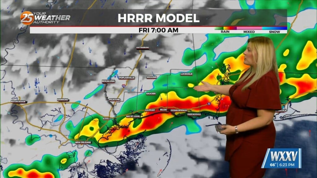
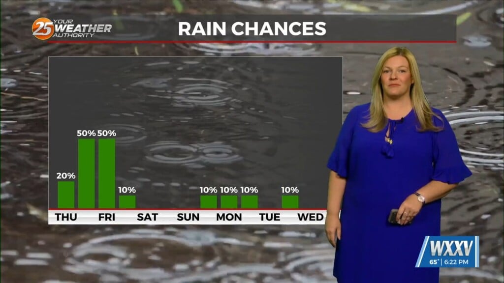
The next cold front looks to move through Friday with some showers. Thunder does not look to be an issue with this front as stability is quite strong and the high behind the front is moving in faster than the exiting high causing the incoming high to bridge the southern end of the front capping the low levels. But showers should manage to develop as upper lift should be enough to squeeze out some precip. A quick cool down will occur but not to freezing. It’s looking like the 40s for overnight lows this weekend…then another warming trend for the start of the next week.


