2/16 – The Chief’s “Rain…Then Colder Temperatures” Friday Morning Forecast
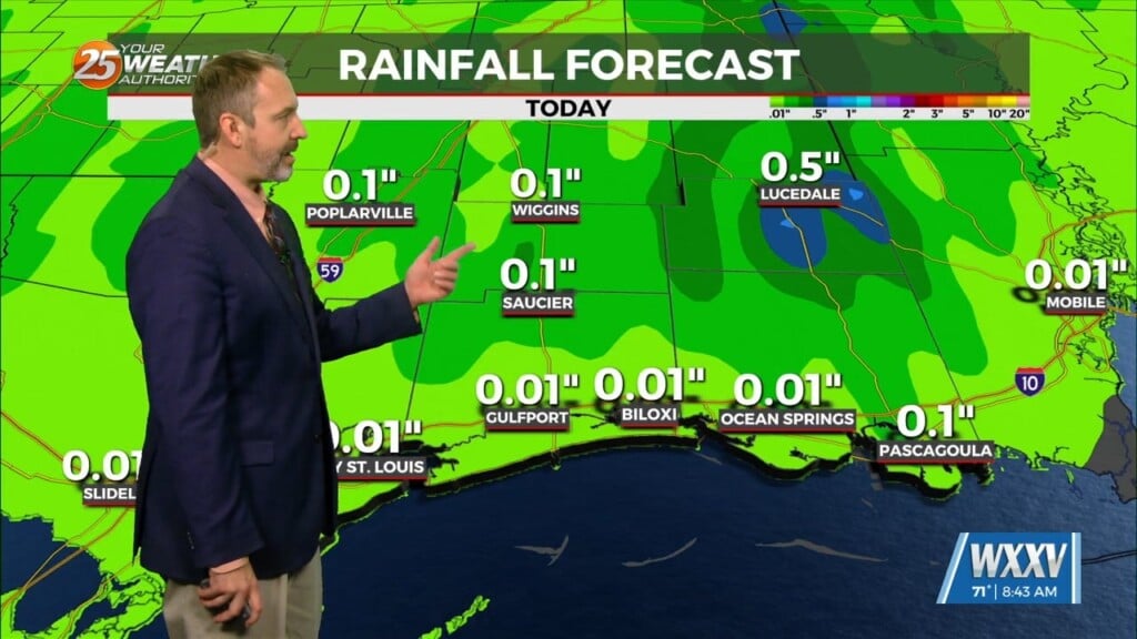
A broad region of enhanced upper level forcing will develop over the Gulf South today and continue into Saturday. This forcing will be driven by the area remaining stuck beneath the right entrance region of a very strong jet over the eastern portion of the CONUS. This increased lift will interact with a zone of enhanced instability already in place across the western Gulf, and the result will be frontogenesis along the coast of Texas. In advance of this low, a warm front will develop and take hold over the northern Gulf. The result will be widespread light to moderate stratiform rainfall moving across the entire forecast area from southwest to northeast. High temperatures will be near average and slightly cooler than today due to the extensive cloud cover and rainfall spreading over the region with temps mostly in the mid-60s.
Tonight will bring the highest rainfall potential across the region as the upper disturbance to the north begins to phase with the southern one. This will keep the axis of heaviest rainfall along the Louisiana coast and offshore. Periods of light to moderate rain will be more likely further inland across the remainder of the area.
By the time Sunday rolls around, the main rain system has already come and gone. There will be some residual blustery winds in the wake of the front but fade away relatively quickly on land. Cooler and drier air will then settle in Sunday night. We will likely have a few spots hit freezing, primarily around SW Mississippi, and a few other areas along South Mississippi.


