2/15 – Jeff’s “Mild” Thursday Evening Forecast
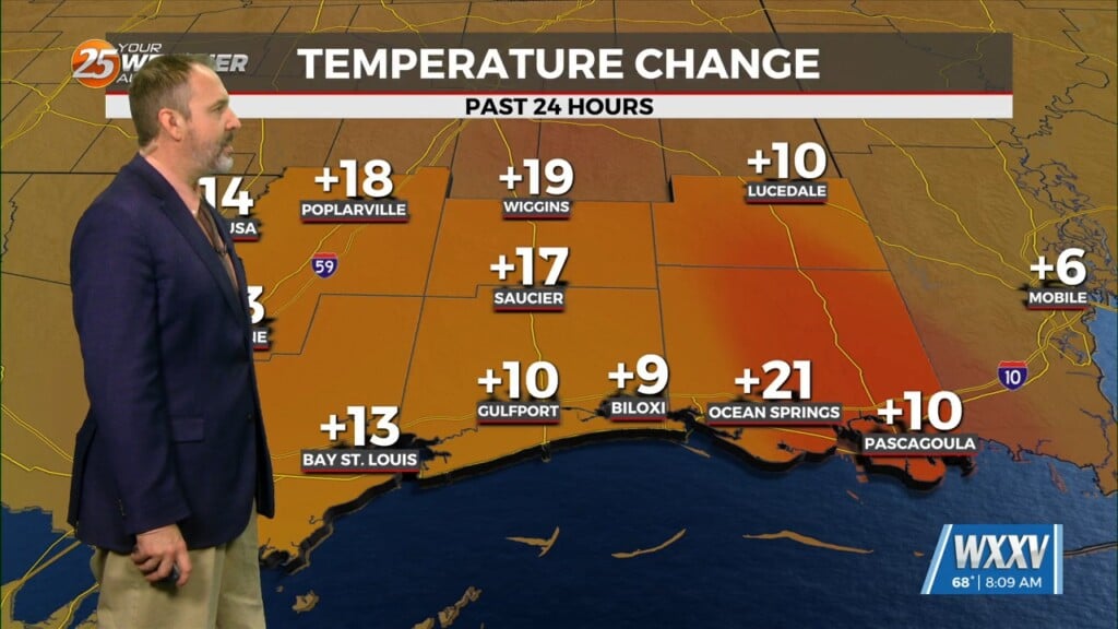
Mid-level and upper-level clouds continue to stream in as an active subtropical jet stream is in the region. Temperatures will remain fairly mild overnight as more humidity works back into our area. Clouds will increase towards the start of your Friday. Cloudy skies will be present for a lot of the day tomorrow as an unsettled pattern moves into the area.
The combination of an area of low pressure in the Gulf of Mexico and a cold front moving in from the northwest will lead to rain chances Friday and Saturday. A shield of light rain will begin to move in during the morning/midday timeframe tomorrow. Coverage will not amount to much more than 30-40%.
Friday evening brings a window of dry time while we await the arrival of a cold front. Another round of rain will begin prior to sunrise Saturday ahead of the cold front. Rain will possibly come to an end by midday Saturday if moisture gets shunted offshore. Rain will come to an end by Sunday and a drier/colder pattern will be around into President’s Day.


