2/10 – The Chief’s “Gray/Gloomy Pattern Continues” Friday Morning Forecast
On water vapor satellite imagery, a plume of moisture was noted from the Pacific Ocean south of Baja California northeastward across the local area. At the surface, a stationary frontal boundary was noted from the Yucatan Peninsula to just south of the mouth of the Mississippi River to the Florida Panhandle. A secondary cold front to the NW will slowly approach the area by Saturday morning.
With moisture getting lifted over the colder air near the boundary, we’ll likely be seeing precipitation returns on radar pretty much all day today, but expect most of it to remain offshore. That’ll change somewhat tonight as a disturbance to the west draws closer, rain will become a bit more widespread. We’re not talking heavy rain, by any means, maybe 0.25 inch, but with temperatures generally in the 40s, it’s not going to be a particularly comfortable night. As the low moves right over the area on Saturday, I don’t expect any significant sunshine. Any breaks in the clouds should rapidly fill in with showery precipitation, especially during the late morning. We should see a diminishing trend in precipitation coverage during the afternoon as the low shifts east of the area and drier air works into the area. Any significant decrease in cloud cover on Saturday is unlikely to occur prior to sunset.
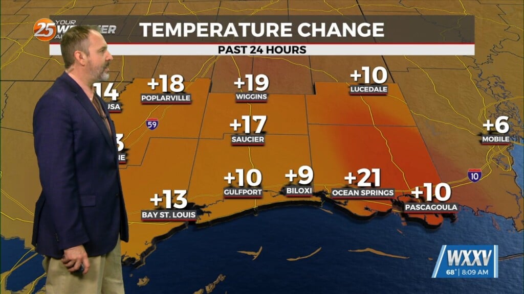
Persistent cloud cover over the southeast half of the area means little in the way of temperature recovery from where readings are at present. The remainder of the area has a little better chance of sunshine and some temperature recovery, but they will have a cooler start. On Saturday, it’s all going to depend on whether we get any sunshine at all. With the departure of the low Saturday evening, drier, colder air moves in, with most of the area falling into the 30s. For at least the first half of Saturday night, it’s going to be rather breezy, especially along the beach. Sunday and Monday should be pretty nice as high pressure shifts eastward across the area.


