12/8 – The Chief’s “Much Warmer Air Moving In” Friday Morning Forecast
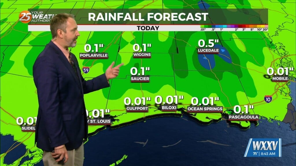
High pressure centered off the South Carolina coast will continue to shift east today, with a return of southerly flow and an increase in moisture. Cloud cover has moved back into the area but outside of a few sprinkles, it should stay dry and mild. Highs will be near 70 with lows Friday night in the lower 60s. A warm southerly wind continues Saturday ahead of the next cold front with highs in the mid to upper 70s. Given the lift, a few showers may pop up during the afternoon but these shouldn’t be a severe threat.
As the surface front moves into the region Saturday, the upper level support will remain back near TX/OK which will be a limitation to severe weather. The front and bulk of the rainfall look to move through almost entirely overnight. Not to quote SPC but the severe risk overnight, is at best, marginal. There will be a SLIGHT Risk for the far northwest parts of our area; better instability earlier in the day and closer to the lift. I can’t rule out a brief tornado in these situations with the highest chance being west of the area.
The low and associated front is departing the area on Sunday. This leaves behind characteristics of high pressure and, generally, for the extended period we will be cool-to-chilly and dry. On Sunday behind the front, strong winds will also be here with winds around 20-25 MPH with high gusts. Low temps early in the week will be in the vicinity of freezing.


