12/7 – Jeff’s “Not As Cold” Thursday Evening Forecast
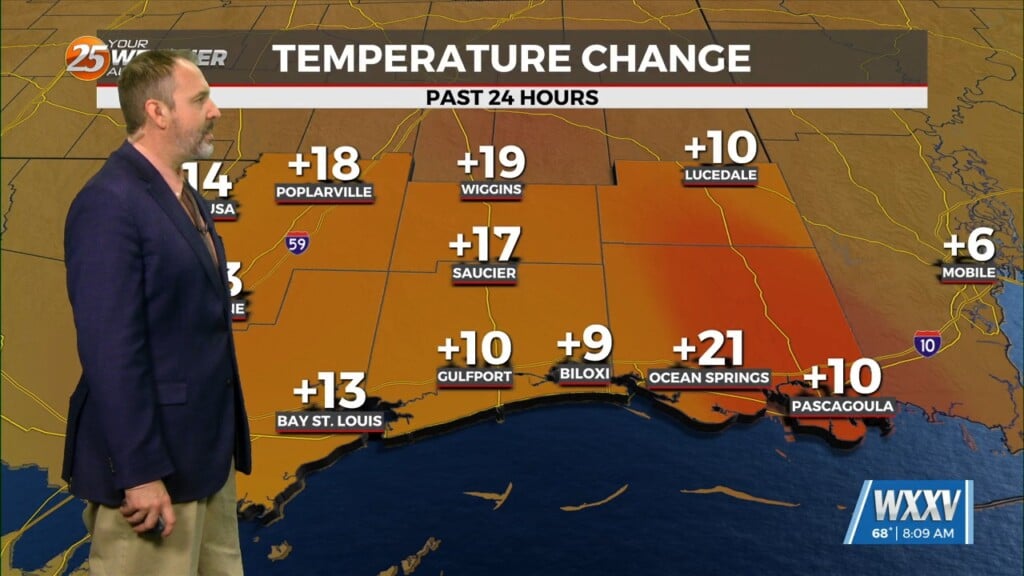
Winds out of the south much of this afternoon will help our overall pattern recover. The combination of more humidity and some cloud cover overnight will keep temperatures from dipping overnight. A slightly less cold start to your Friday will lead to a warmer day with a mix of clouds and sun along with a 20% chance of rain.
Into this weekend, southerly flow and an approaching frontal system will continue to add moisture back into the picture. Saturday will again feature mostly cloudy skies and more appreciable rain chances as compared to Friday. Shower chances turn to thunderstorm potential by the afternoon.
There is a level 1 of 5 threat for severe thunderstorms mainly for the overnight Saturday into Sunday timeframe. The main batch of activity will move through the area prior to daybreak Sunday. Following that, rapid clearing takes place in the wake of a strong cold front which will bring colder temperatures next week.


