12/21 – The Chief’s “Slight Warmer” Friday-Eve Morning Forecast
An upper-level high-pressure sits over the Mississippi River Valley with weakness off the New England and California coasts. At the surface, high pressure was centered near the Tennessee-North Carolina border.
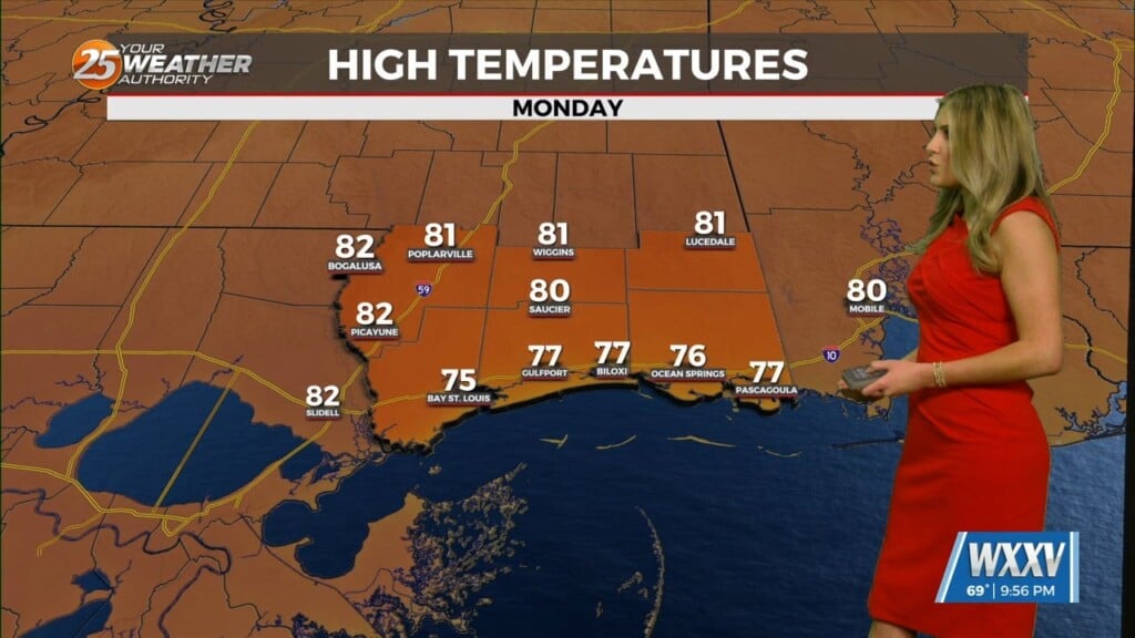
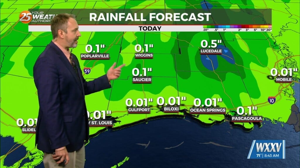
The high pressure will flatten out somewhat over the next 36 hours as a disturbance moves across the Upper and Middle Mississippi River Valley. This will give surface winds a bit more of an onshore component, slowly increasing moisture levels. With minor disturbances moving through the upper flow, I can’t entirely rule out isolated rain showers on Friday, but rain amounts would be very light. Once the cirrus shield becomes more established across the area today, sunshine will become rather limited for the next several days. That is likely to hold high temperatures in the middle and upper 60s, instead of maxing out in the lower 70s.
The main weather concerns will occur over the holiday weekend as a weakness off the California coast shifts eastward into the Rockies by Saturday night, and the Plains States on Sunday. As the disturbance approaches from the west Saturday night and Sunday, a large area of rain will move into the area, probably on Sunday morning, give or take a few hours. Instability is rather limited, so severe weather doesn’t look to be a major concern, but a few rumbles of thunder are certainly possible. Sunday afternoon looks wet, as well as Sunday evening, so last minute shoppers (and reindeer) will need rain gear. Most of the impactful rainfall should be over prior to sunrise Monday, but can’t rule out a few lingering patches of light precipitation during the morning. Widespread rain amounts averaging 1-2 inches certainly reasonable, with spot higher amounts possible. That could produce brief issues in a few urban areas with poor drainage. It’s not out of the question that we could even see sunshine Christmas afternoon before any colder air arrives.


