12/19 – Jeff Vorick’s “Another Cold One” Tuesday Evening Forecast
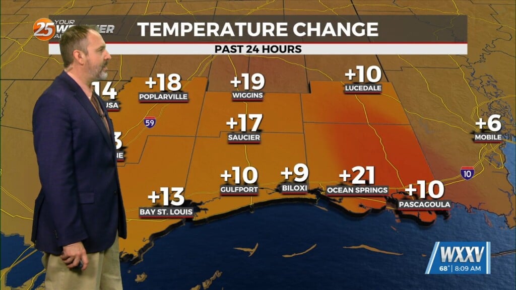
Temperatures will sharply drop this evening, but may not bottom out at their maximum potential overnight thanks to cloud cover moving into the region. Mid and upper level clouds will be around from late tonight through much of tomorrow. That being said, it will be a very cold start tomorrow with some spots recording temperatures in the 30s.
High pressure moving through the region will cause our winds to gradually shift through the end of the week. It will be breezy Wednesday afternoon with winds out of the east. Winds turn more southerly by the end of the week which will bring milder and more humid air back into the region. More sunshine will be expected Thursday as compared to tomorrow.
For the end of this week into the weekend, a train of disturbances and frontal systems will provide for a gloomy and unsettled time as we push towards the Christmas holiday. Rain chances begin as soon as Friday and will continue towards Christmas Day.


