12/18 Ryan’s “Warmest & Wettest” Thursday Morning Forecast
Get ready for our warmest & wettest day of the week, ahead of a slight, short-lived cool down ahead of the weekend.
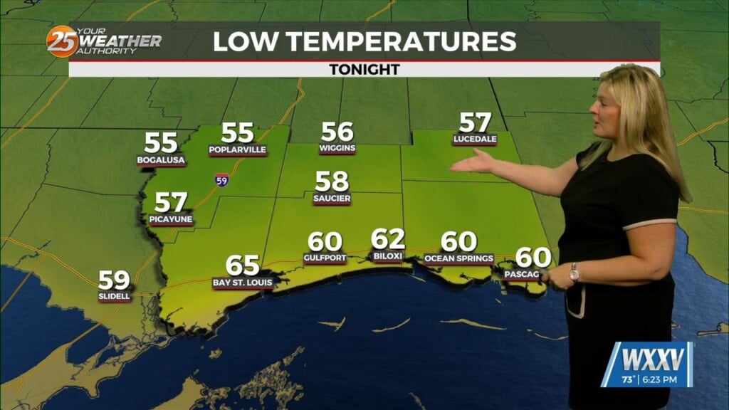
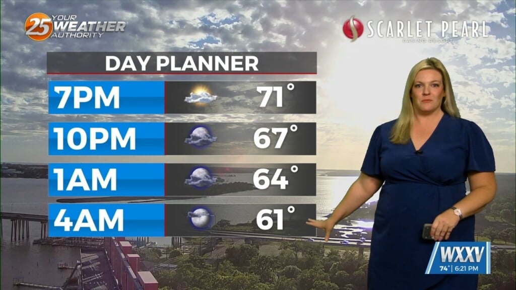
What a wild week it’s been as we started it off with lows in the 20s but are now see our warmest & wettest weather ahead of today’s front. Lows rose into the mid 60s today, with cloudy skies and a few thunderstorms mixing in with our spotty showers. I expect the cloud cover and rain to linger for most of the day, but we’ll see the rain slowly drying up through the afternoon. Highs will climb to 69 degrees under grey skies, but the front will move through around 8 PM tonight…leading to rapid cooling and clearing. That’ll have lows back down into the chilly 40s for a couple days, and give us one afternoon in the low 60s for Friday. Skies will be sunny, a little cooler, and clear as well, but won’t last long into the start of next week which is trending on the warmer side.


