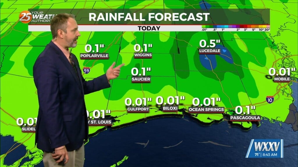
12/14 – The Chief’s “Warmer, Increasing Cloud Coverage” Thursday Morning Forecast
The current large scale pattern has an upper level closed low-pressure moving into the desert southwest and broad high pressure over the Caribbean, combining to feed southern branch air into the local area, increasing the moisture.
Two actions on our part result from this scenario: long duration winds as a Small Craft Exercise Caution and Small Craft Advisory headlines to a Gale Warning for all offshore zones beginning at noon today and running through noon on Saturday. Inland lakes will be under a Small Craft advisory for that time frame.
Second, we have issued headlines for Coastal Flooding. Eastern facing shores will receive flooding from high tides and wind driven waters concurrent with the high tide cycles.
A system from the west will spawn an area of low-pressure in the W’tern GOM moving NE. This will spread rain across the area Saturday afternoon into early Sunday morning. As the low in the Gulf tracks toward Florida on Sunday, the parent upper level energy and jet streak will begin to merge with the now developed longwave trough over the Southeast CONUS. By Monday, the combined systems will develop into a large longwave trough dominating the eastern half of the country.


