12/1 – The Chief’s “Wet & Gray” Friday Morning Forecast
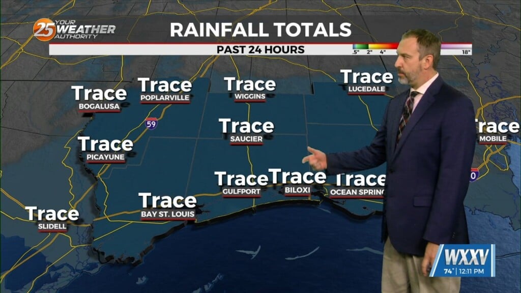
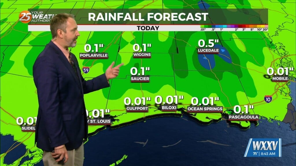
The first of 3 disturbances moving through this morning and should be out of the area by 10am today. This does not mean that the rain will shut down; just the heaviest and strongest storms will decrease into mainly rain showers and a few storms. The cold front will remain stalled giving these disturbances an interface to move along and ahead of. The next disturbance begins to move into the area from the west around midnight tonight. We should have a good bit of the area in the warm sector and surface based, so this disturbance will have just as much potential for strong or severe storms and heavy rainfall once again overnight tonight.
SPC and WPC continue the marginal risk of severe and excessive rainfall, respectively. And this looks well placed at the moment as well as being the appropriate level of risk. This second disturbance will move out of the area by 6am Saturday but as the front remains stalled a line of showers/t-storms will remain behind this jet level speed max. This line of showers/t-storm should remain for much if not all day as it slowly moves SE. The last of these disturbances will actually be the cold front moving through late Saturday evening into early Sun morning. This will be the last round as the front should clean the area. There is also the potential for some advective fog tonight into Saturday morning. The set-up is pretty good with a cold front stalled to the NW, source region dew pts at 76F along with a high RH field. This is a marine fog setup but some of this may move inland as well especially at the coast.
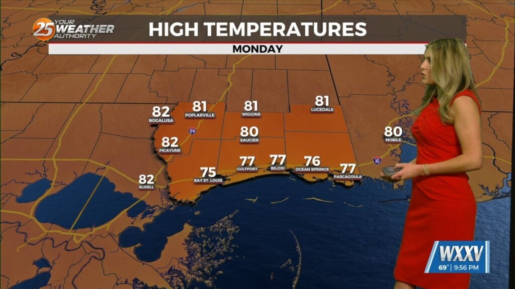
Reinforcing surges of deep dry air will visit through next week. These will be new cold fronts but there is little response time for moisture to flow back into the area since the deep upper disturbance is over the eastern half of the country. There does not look to be any rain days in the new week at the moment. But we will begin to focus on fog more ahead of or along each frontal boundary.


