11/6 – Rob’s “Wet Pattern” Tuesday Morning Forecast
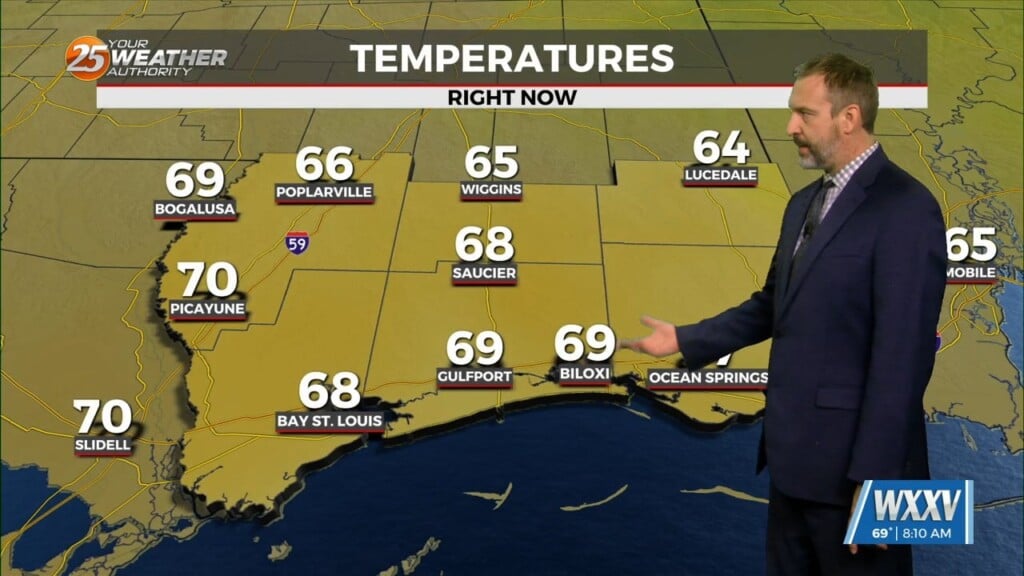
A generally wet pattern will be in place across the region this week. A weak cold front will be approaching the forecast area from the north today. The local area will be on the trailing end of the boundary. The strongest mid/upper level winds are quite a bit north of the area which will keep strong/severe storms to the north. It appears that the weak boundary will stall in southern Mississippi today as the shortwave to the north races northeast. Surface moisture ahead of the front is already in place with dew-points in the lower to mid-70s.
Ample moisture and lowering pressures will promote shower development today…with a few embedded t-storms. As the boundary washes out tonight, the next cold front will approach the area Wednesday into Wednesday night. This will once again increase rain chances and likely even higher than today. Latest forecast precip chances for Wed are upwards of 60-70%. Again, mostly showers with embedded t-storms. This front will stall as well, but possibly closer to the coast. Thursday will be a persistence pattern as the front will remain stalled across the forecast area.
It’s not until this weekend that the rainy pattern should finally come to an end. Models show the main upper trough amplifying and pushing a front through the area into the Gulf of Mexico. This will end rain chances and usher in much cooler air beginning Friday night. We could be looking at highs in the upper 50s and lows in the upper 30s for a couple days.


Leave a Reply