11/17 – The Chief’s “Finally…Sunshine Ahead” Friday Morning Forecast
The midweek upper disturbance is now over Florida with weak high pressure over Texas. A northern stream disturbance extends from Hudson Bay to Lake Superior to the Northern Plains States. At the surface, the next cold front was located from Lake Superior to the Texas Panhandle. Quite an abundant cirrus shield moving overtop the high pressure to the west will continue to move southeast across our area.
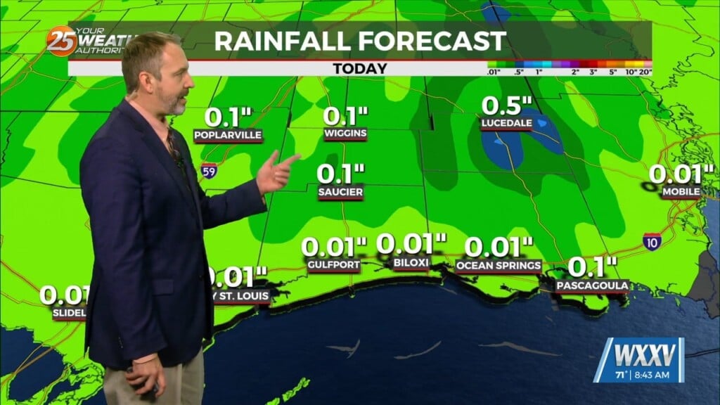
While today should at least be brighter than the last few days, all of the cirrus moving across the area will still characterize the day as mostly cloudy. Those clouds will also prevent temperatures from achieving their highest potential. The frontal boundary to the northwest will be weakening as it moves through the area overnight. Moisture will be rather limited, and only a few showers are expected. A much better opportunity for sunshine on Saturday and it’ll be a pretty nice day with drier air moving in. For much of the area, high temperatures Saturday won’t be much different than today, but with sunshine, it`ll feel nicer.
The one area of concern locally will be a storm system that will affect the lower and middle Mississippi River Valley early next week. Timing of this system is a bit slower than what we were looking at yesterday. Current models point more at very late Monday night or Tuesday morning. While shear and instability will be sufficient for at least some strong thunderstorms, not seeing extreme values at this point. I’m going to keep precipitation chances with the front in the likely range for now due to concerns with the timing. With the system being progressive, there will be a brief heavy rain threat, but we`ll take the rain at this point. Of course, a slower solution would have the added effect of impacting early holiday travelers to some extent.
Wednesday and Thanksgiving Day are going to be pretty cool, and there’s at least some potential for isolated freezing temperatures Thanksgiving morning. Thanksgiving Day highs may not get much past 60 across much of the area.


