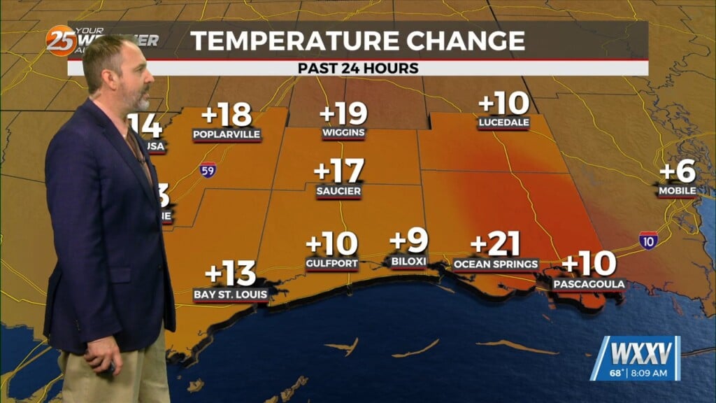
11/15 – Trey’s “Gale Warning Continues” Wednesday Night Forecast
Meteorologist Trey Tonnessen
Mostly cloudy skies will continue Thursday thanks to a persistent corridor
of easterly lower-tropospheric moisture advection that isn`t backing down much,
if any. Strong winds will be a concern Thursday as well, especially with the
potential for big gusts over coastal areas. The National Weather Service has
continued the GALE WARNING covering the Mississippi Gulf Coast and 60 nautical
miles out in the Gulf. The likelihood is raised that there could be large swells
and a dangerous chop.
Weather models are decent agreement that a weak cold front
associated with a trough, will dig across the Great Lakes region
Friday night and into Saturday. This front looks like it will be
mostly dry. The front will mainly make it feel drier outside as dew
point drop into the low 40s and upper 30s this weekend. Temperatures will
also drop a degree or two, but the lower dew points will be our biggest change.

As always: A cloudy day is no match for a sunny disposition. Be nice to each other.

- Meteorologist Trey Tonnessen -


