11/15 – The Chief’s “5 Days Without Seeing The Sun” Wednesday Morning Forecast
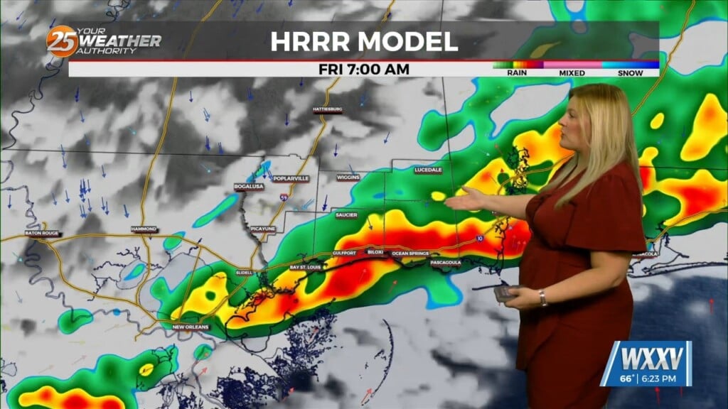
Mostly light showers have been intermittent across the region this morning as rain continues to move in from the south. An area of low-pressure to the south will slowly linger in place over the next 24 hours before beginning to eject to the NE. This system will continue to increase the low level pressure gradient, meaning elevated winds beginning this morning and continue through at least Thursday afternoon.
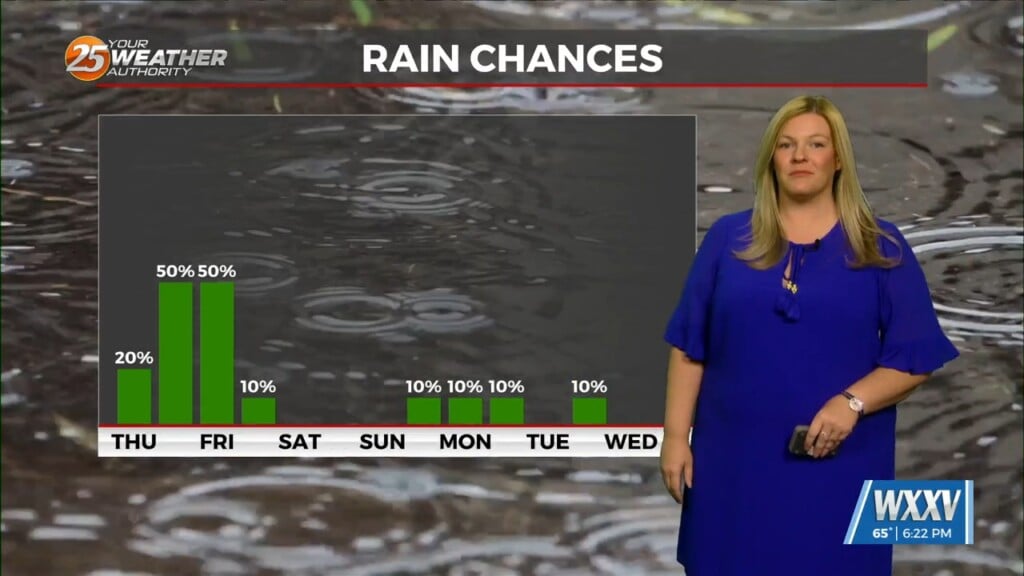
That’s becoming more of a concern is the coastal flood aspect, especially for eastern facing shores and the persistent easterly or ENE fetch across the MS Sound. Before the area of low pressure ejects out of the region, slow weakening will occur once the system begins to occlude later this morning. Rain chances will remain in the area but beginning to lower this afternoon with a gradual decline in shower activity toward the end of the cycle. Winds should also start to relax as the pressure gradient is reduced with the surface low filling on Thursday.
Weak high pressure fills back in behind the exiting low and its associated shortwave on Friday. This will warm us up on Friday while keeping us mostly dry. However, another disturbance digging over the great lakes region throws a cold front down here Friday night and into Saturday. Current indications are that the front will be rather weak, only cooling things off a few degrees while not bringing that much rain to the area. At least it will feel cooler and drier this weekend after the front passes.


