11/14 Ryan’s “Post-Front” Thursday Morning Forecast
Things are clearing up nicely post front, leading to a dry and sunny end to the week.
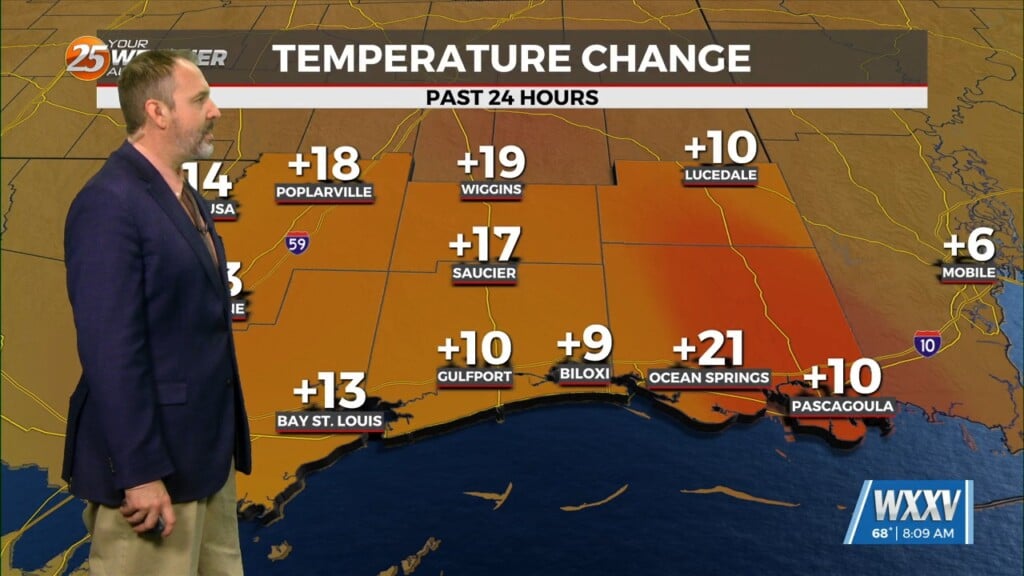
It was cloudy and a bit stormy yesterday as a front moved in, but today’s post-front weather will be considerably nicer! By that I mean the cloudy skies and warm, humid weather we’ve seen recently is already gone as drier air rushes in. That had lows down between 5-10° already this morning, in the mid 60s on the coast. This afternoon will run about 5° cooler than yesterday, with an even cooler mornings and afternoons ahead for the end of the week and the weekend. It won’t get too cool out there though, and sadly won’t last long as another front moves in by the start of next week. Expect that to give us another bump in humidity and to our highs and lows, but it’s a head of an even more noticeable cool-down by the end of next week.
Tropics: Tropical Depression 19 formed out out of the area of interest we’ve been watching, and is expected to drift into the Gulf by next Tuesday as a weak tropical storm.


