11/13 – Trey’s “Rainy Nights” Monday Night Forecast
Meteorologist Trey Tonnessen
A surface low has developed over the course of today in the
western Gulf just off the coast of Texas, in association
with the shortwave across Texas. That low will continue to
deepen as it moves east. In the weather community, there is some
discussion on exactly where the low will move across the Gulf. The high-
resolution models try to anchor the low with the convection in the
Gulf, versus the global guidance being more synoptically driven
with where the low goes. If the low does get anchored to the
convection, then expect a more southward track of the low into the
central Gulf, but if the synoptic track is correct, expect the
low to track closer to the coast. Based off of recent trends, the
low looks to be a little farther south and more in line with the
high-res models.
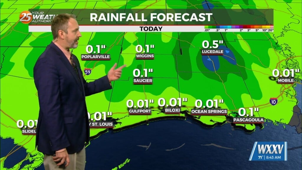
Areas along the coast will have the best shot of seeing 2-4 inches over
the next few days, with locally higher amounts of 6 inches
possible. The heaviest rain seems to be near the coast for Tuesday.

As always: A cloudy day is no match for a sunny disposition.
Be nice to each other.

- Meteorologist Trey Tonnessen -


