11/13 – Trey’s “Coastal Flood Warning” Tuesday Night Forecast
Meteorologist Trey Tonnessen
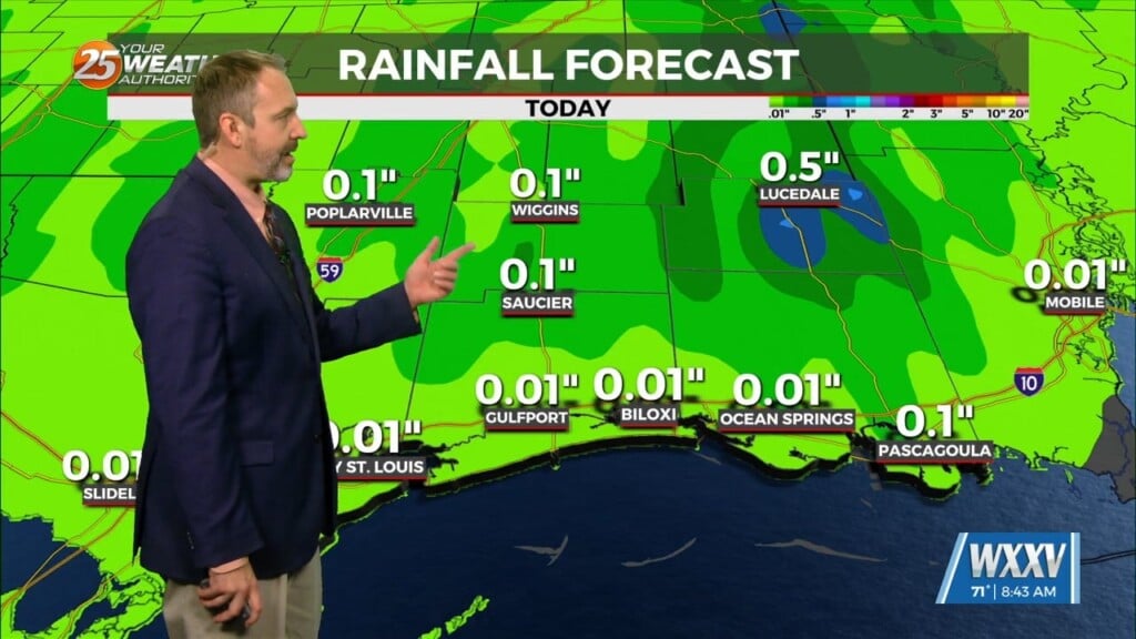
Here on the Mississippi Gulf Coast, as this workweek approached, weather models began agreeing more on the current system bringing heavy rainfall in a widespread fashion across the Gulf Coast. Even as recent as Monday night, the trough sliding down into Texas appeared ready to push a low pressure center toward the Mississippi Coast. That frontal system is still present, but the low pressure center has taken a more southerly track. The Mississippi Gulf Coast will still see an abundance of rainfall through tonight and into tomorrow, but our overall flooding risk is slightly lower than we thought heading into tonight. Though it is lower for some, the coastal flood risk is still in play for a large majority of coastal areas. Due to this potential and chance, the National Weather Service has issued a COASTAL FLOOD WARNING for areas along the Mississippi Gulf Coast. Another hazard that the National Weather Service feels concerning and hazardous enough is reason enough for a GALE WARNING to be issued for a large coastal area stretching from coastal waters in and around Pascagoula, Mississippi… to Stake Island, Louisiana. This warning not only covers the land, but also is warning 60 nautical miles out into the Gulf Of Mexico.
As always, a cloudy day is no match for a sunny disposition. Be nice to each other.
– Meteorologist Trey Tonnessen


