10/4 Ryan’s “Damp and Dreary” Friday Afternoon Forecast
Outside of some trace amounts along the coast, yesterday didn’t see the few showers we expected to see, but that rainy weather has already starting moving in today. So far measurable amounts have only fallen in Bay St. Louis, though almost every coastal city should see at least a quarter of an inch or more through the day. Even that is being a bit wishy-washy though with most of the activity flaring over the water and dying off quickly.
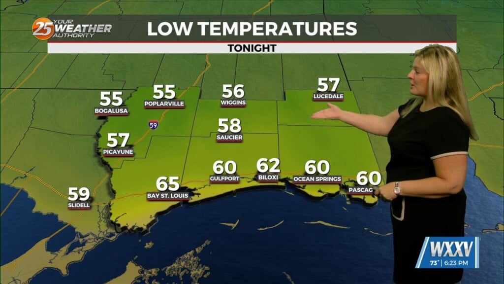
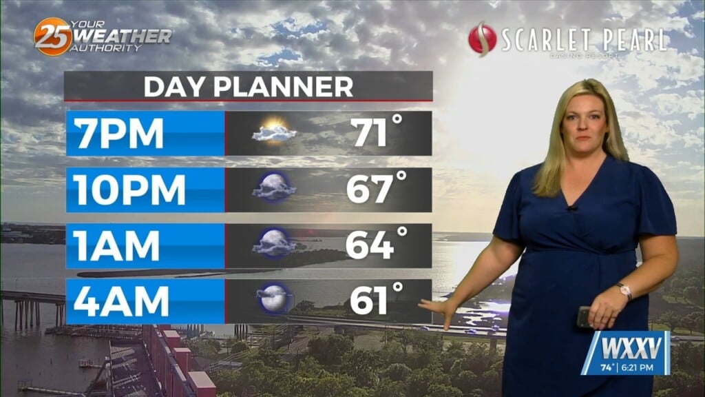
That all-day cloud cover and rain will keep things on the cooler side today with a cooler-than-normal high near 80 degrees expected. Overnight lows will linger near the mid 70s where this morning was thanks to an approaching front, that will bring some amazing weather to the area just in time for all our Cruisin’ the Coast festivities. It’ll take a while to see noticeable change though, but cloud cover will begin to thin Saturday and continue through Monday morning. After that
Tropics: the disturbance in the Gulf finally seems to be getting its act together thanks to some support from a low and moisture from the Pacific, and within the next week could begin to organize and start moving eastward. Current intensity forecasts are all over the place, though what would be named “Milton” looks fairly set on the Tampa/South Florida area. Kirk continues to rage in the Atlantic, and thankfully won’t impact land anytime soon since it’s just under Cat. 5 status with 145 mph at this time. Tropical Storm Leslie is likely to be Hurricane Leslie over the next day or so, and won’t impact South MS though a Caribbean/Bermuda landfall isn’t out of the question.


