10/31 – The Chief’s “Frightfully Cool & Windy” Halloween Morning Forecast
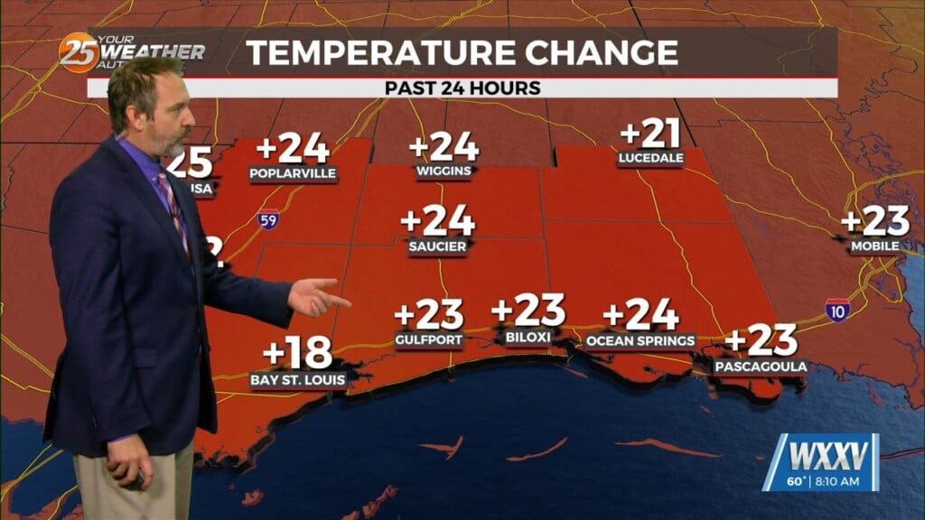
To say the obvious, there is some very strong cold advection and this looks to continue over the next 24 hours or so. This will help force temps to the lowest levels so far this fall/winter season. A few showers with the mid-level feature is moving through this morning and that is mostly virga with a few drops making it to the surface. I will keep precip numbers where they are for this but a further drying of these layers is expected and even this light rain will decay through the morning as high pressure moving in from the NW.
Another surge of dry cool air will be on the march today and should be here by late tonight. This strong CCA will help bring temps down to near or just to the freezing mark around sunrise Wed. Personal opinion is winds will be too strong keeping warmer air mixed to the surface. Models have literally been a coin toss for the last 3 days with freezing temps over the northern tier of counties. But we will remain with the consensus and the fact is that temps should at least make it to 33F and pulling straws is not the best thing to do when there could be impacts to those things that can`t tolerate temps around freezing. This will not be the issue Wednesday night as temps should feel the full effects of a good radiation night even if winds stay around or less than 5kt. There will be some gusty winds today and as the new surge of air moves in overnight, winds could be sustained well above 20 mph for a few miles inland
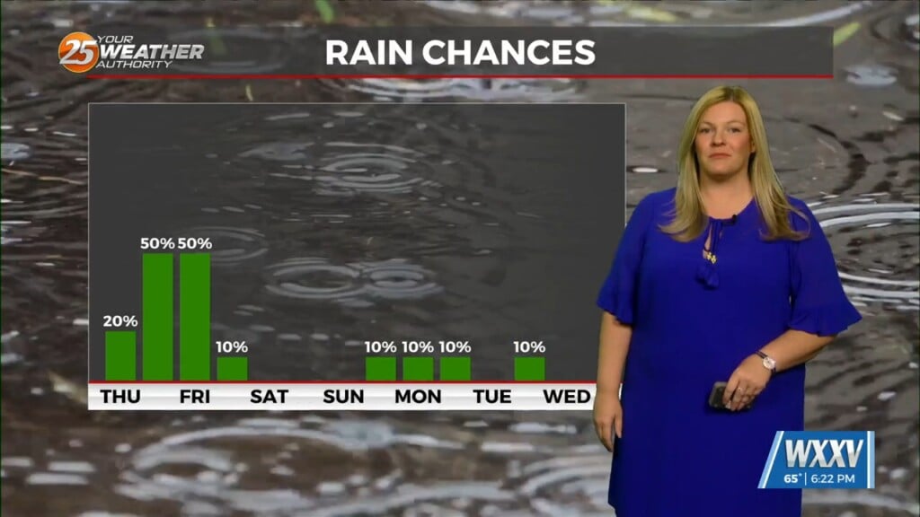
Any chance of rain from Thursday on would be in the light form of a shower or two. But chances will not be on the high side. Winds ease back and temps begin a warming trend through the end of the week. The forecast becomes a bit more questionable by the start of next week as models show either another cold front blasting through the area or a slower stalling front hanging up to the north or the area.


