10/30 – The Chief’s “Cloudy & Windy” Monday Afternoon Forecast
A
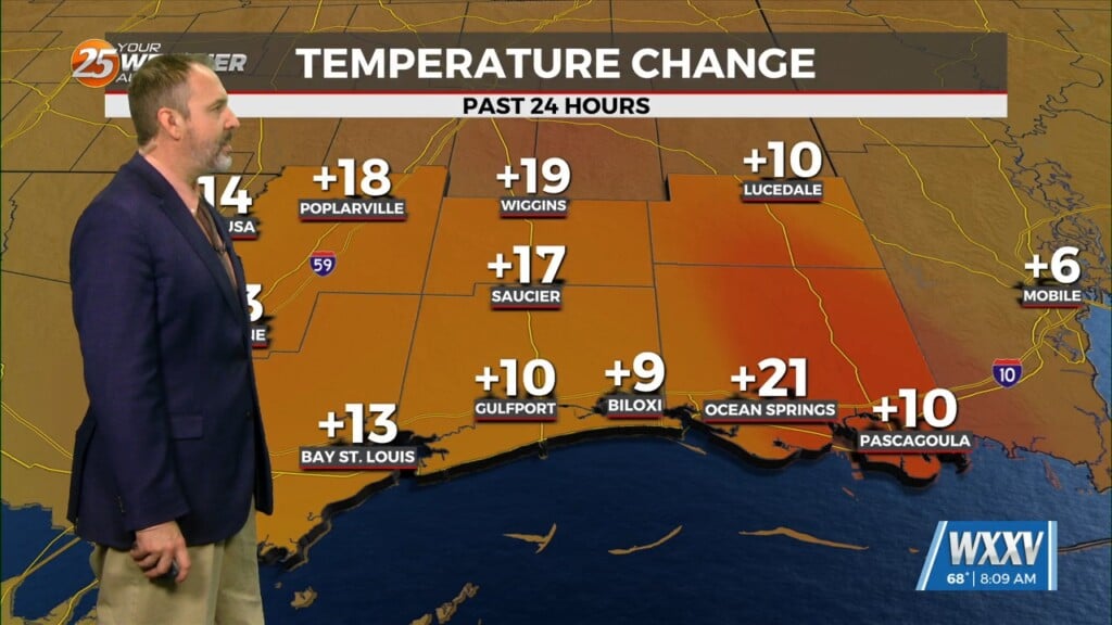
n approaching surface front should clear the land by the afternoon as winds shift out of the north. The upper front will lag behind the surface front so the temperature change will not be immediately after the surface front. Once the front comes through (looks to be Monday night), you will feel it in the air. Also, when the upper front passes Monday night through Tuesday morning, guidance is indicating that there will be a small amount of elevated instability to work with. So, with the low-level convergence of the upper front coupled with the small amount of elevated instability, low rain chances will still be in the area.
Lows Tuesday morning will be tricky as it all depends on how much the upper front will have advanced through the area. If it moves through quicker, strong cold-air advection will promote better cooling behind the front, thus lower temps, but if the front is over the area or off to the north, cloud cover as well as weaker-to-no cold air advection will lead to warmer temps. Tuesday night and into Wednesday morning will see strong cold-air advection behind the front, with temps near freezing are shown for portions of southwestern Mississippi for Wednesday morning, with the potential of a freeze warning needed for Wednesday morning in southwest Mississippi.
Thursday morning is the best chance for a freeze across southwestern Mississippi and the Florida parishes. Winds relax during the morning, which will promote sufficient cooling when coupled with the expected clear skies. Low temps were blended down towards the 50th percentile given those conditions. The air mass will being to modify late in the week into the 1st weekend of November.


