10/21 Ryan’s “Chilly-to-Cool” Monday Morning Forecast
Things are still on the chilly-to-cool side out there, but we will warm steadily throughout the week.
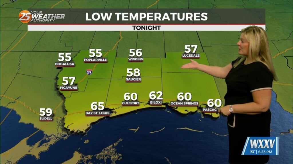
While not quite as chilly as the weekend, we’re still seeing some nice cool mornings out there as we start off this week. This morning ended up several degrees below our upper 50s “normal,” right on the edge of chilly though a few South MS cities did fall into the mid-to-upper 40s. This afternoon will climb rapidly after sunrise into the upper 70s/low 80s, right around where we should be for this point of the year in mid-to-late October. We won’t see any dramatic changes this week, but you can expect a gradual warm-up for the next several days for both our days and nights. That’ll have mornings back into the low 60s by Thursday morning, and afternoons in the low 80s…a handful of degrees above average. Clouds will come and go throughout the week, maximizing between Thursday and Friday, but aren’t likely to climb above “mostly sunny” (~25% clouds-to-sun).
Tropics
While not at the “peak” of the season anymore, it certainly isn’t chilly in the Tropics. The weekend saw the rapid development of Nadine and Oscar out of some unlikely development areas. Nadine reached tropical storm status and brought rain to Central America, while Oscar impacted Cuba as a small, low-end hurricane that left many without power. There are currently no other areas of potential development in the Atlantic.


